


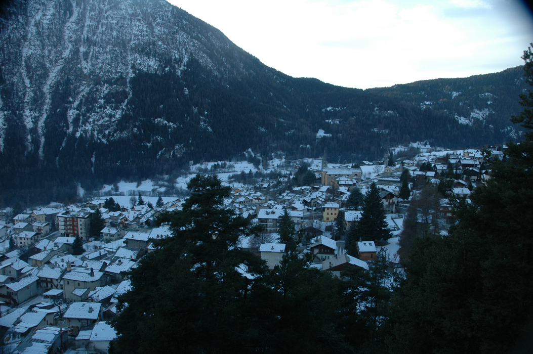
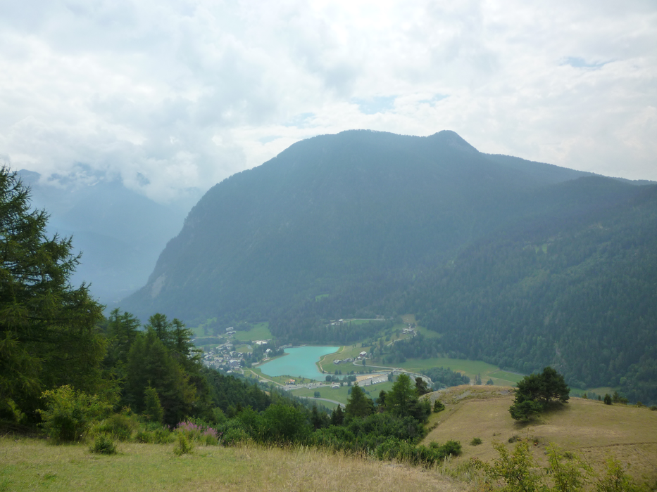


Map and nearest places
| Longitude | Latitude |
|---|---|
| 45.766666666666694 | 7.73333333333333 |
| 45°46'0"N | 7°43'0"E |
| Nearest places | ||
|---|---|---|
 | Challand-Saint-Anselme | 5.6km |
 | Saint Vincent | 6.7km |
| Champoluc | 7.4km | |
 | Ayas | 7.6km |
| Breuil -Cervino | 7.9km | |
 | Montjovet | 8.4km |
| Aosta Airport | 28.5km | |
| Biella-Cerrione Airport | 41.7km | |
| Sion Airport | 59.3km | |
| Turin International Airport | 62.2km | |
| Malpensa International Airport | 78.4km | |
| Bex Airport | 79.6km | |
| John Paul II International Airport | 1,016.3km | |
| Tuuta Airport | 19,619.3km | |
Accomodation

Weblinks
Comments
You need to log in to add comment