


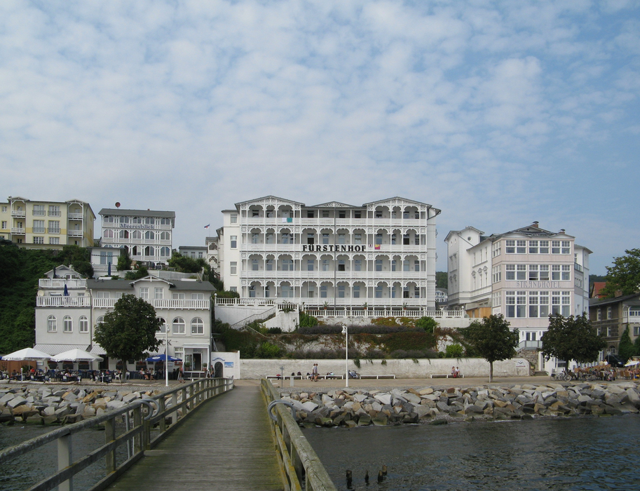


Map and nearest places
| Longitude | Latitude |
|---|---|
| 54.5161111111111 | 13.641111111111101 |
| 54°30'0"N | 13°38'0"E |
| Nearest places | ||
|---|---|---|
 | Sagard | 5.9km |
 | Lohme | 7.9km |
 | Glowe | 12.6km |
 | Binz | 13.1km |
| Sellin | 15.1km | |
 | Bergen auf R�gen | 17.4km |
| Stralsund Airport | 43.2km | |
| Stralsund - Barth Airport | 64.1km | |
| Anklam Airport | 76.0km | |
| Heringsdorf Airport | 78.3km | |
| Bornholm Airport | 94.0km | |
| Neubrandenburg Airport | 103.7km | |
| John Paul II International Airport | 646.1km | |
| Tuuta Airport | 18,619.5km | |
Accomodation
Museums
Weblinks
Comments
You need to log in to add comment