


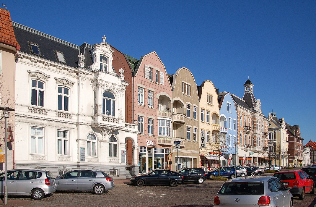
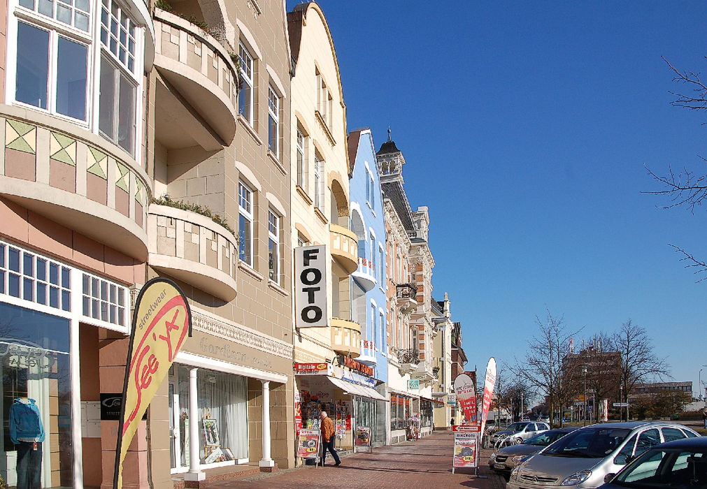
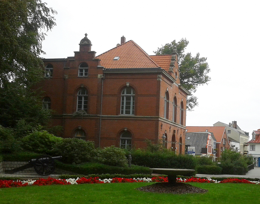
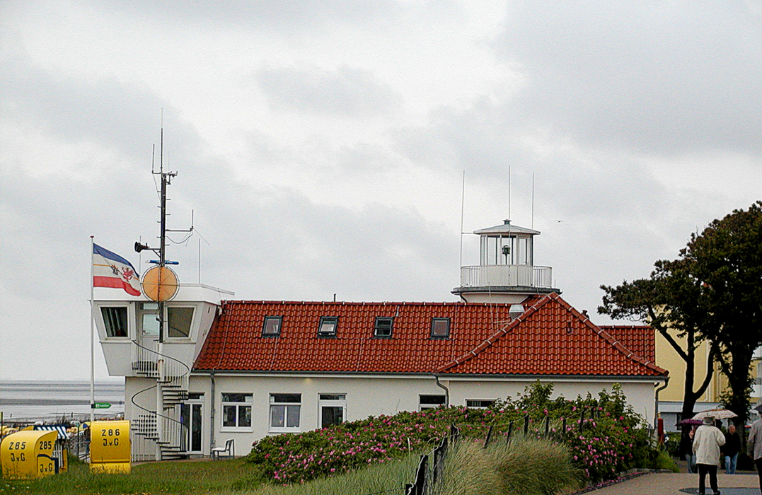
Gallery


Map and nearest places
| Longitude | Latitude |
|---|---|
| 53.8611111111111 | 8.69444444444444 |
| 53°51'0"N | 8°41'0"E |
| Nearest places | ||
|---|---|---|
 | Otterndorf | 15.1km |
 | Dorum | 23.8km |
 | Bad Bederkesa | 27.9km |
| Langen | 28.1km | |
| Heide-Busum Airport | 35.4km | |
 | Bremerhaven | 36.3km |
| Bremerhaven Airport | 40.2km | |
 | Heide | 46.1km |
| Wangerooge Airport | 52.0km | |
| Harle Airport | 59.9km | |
| Helgoland Airport | 62.3km | |
| Langeoog Airport | 79.7km | |
| John Paul II International Airport | 867.1km | |
| Tuuta Airport | 18,836.4km | |

Restaurants
Weblinks
Comments
You need to log in to add comment