


Map and nearest places
| Longitude | Latitude |
|---|---|
| 44.3894444444444 | 2.3377777777777804 |
| 44°23'0"N | 2°20'0"E |
| Nearest places | ||
|---|---|---|
| Rodez-Marcillac Airport | 11.7km | |
 | Rodez | 19.3km |
 | Conques | 23.9km |
 | Villefranche-de-Rouergue | 24.4km |
 | Estaing | 32.4km |
 | Najac | 34.2km |
 | Figeac | 34.4km |
| Albi - Le Sequestre Airport | 55.7km | |
| Aurillac Airport | 56.2km | |
| Lalbenque Airport | 68.4km | |
| Castres-Mazamet Airport | 92.7km | |
| La Roche Airport | 108.6km | |
| John Paul II International Airport | 1,456.6km | |
| Tuuta Airport | 19,899.3km | |
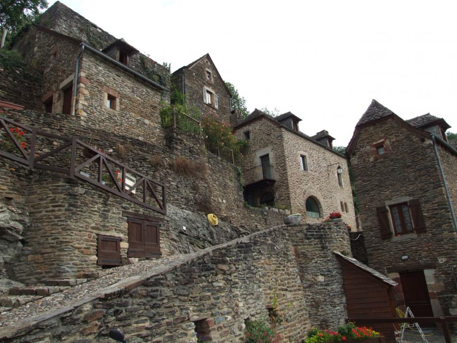
Accomodation
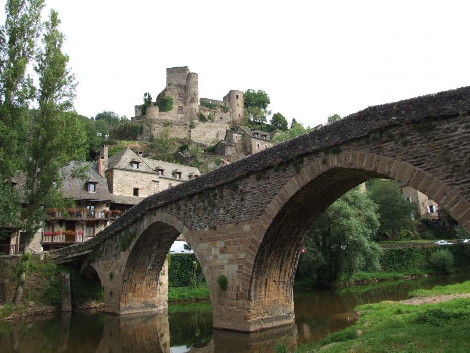
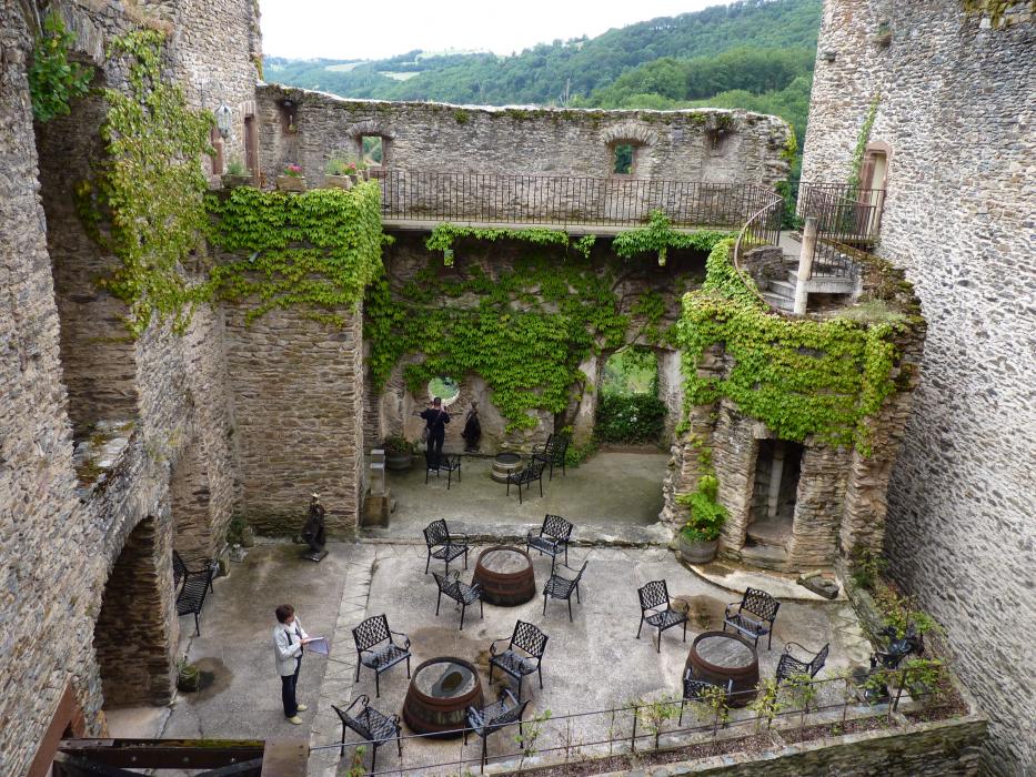
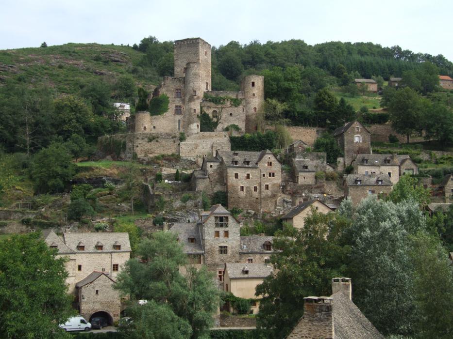
Castles
Weblinks
Comments
You need to log in to add comment