


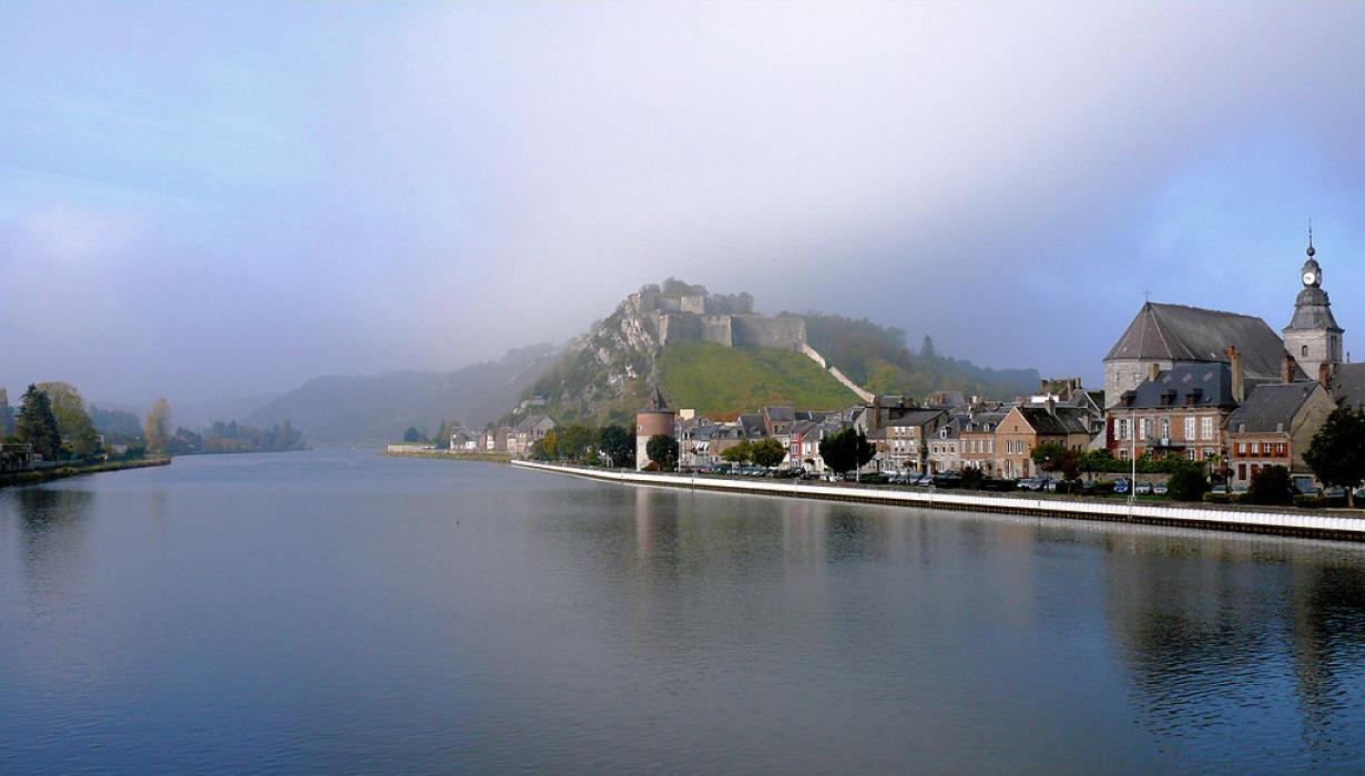


Map and nearest places
| Longitude | Latitude |
|---|---|
| 50.1388888888889 | 4.825 |
| 50°8'0"N | 4°49'0"E |
| Nearest places | ||
|---|---|---|
| Chooz | 4.1km | |
 | Dinant | 13.5km |
| Anhée | 20.2km | |
| Philippeville | 20.7km | |
 | Couvin | 26.3km |
 | Rochefort | 28.0km |
| Aérodrome de Charleville-Mézičres | 41.5km | |
| Brussels South Charleroi Airport | 44.3km | |
| Liege Airport | 70.7km | |
| Spa-La Sauveničre Airport | 86.0km | |
| Brussels International Airport | 88.8km | |
| Aérodrome de Valenciennes - Denain | 98.9km | |
| John Paul II International Airport | 1,065.1km | |
| Tuuta Airport | 19,304.7km | |
Accomodation

Restaurants
Weblinks
Comments
You need to log in to add comment