


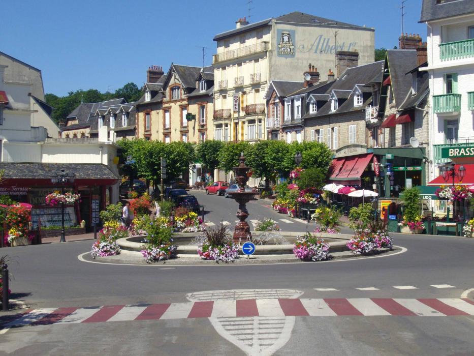
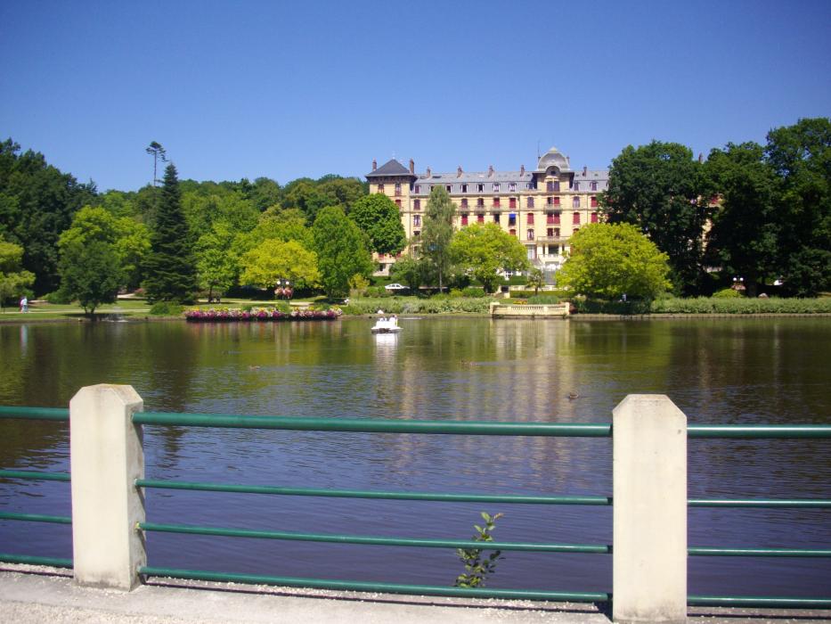
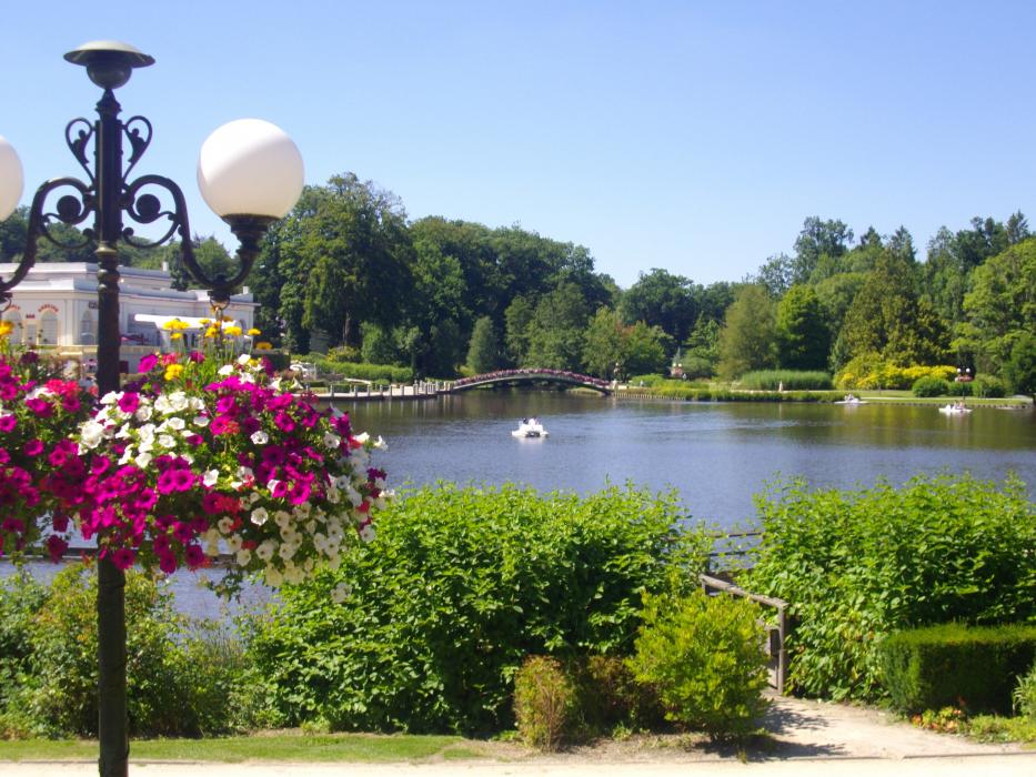
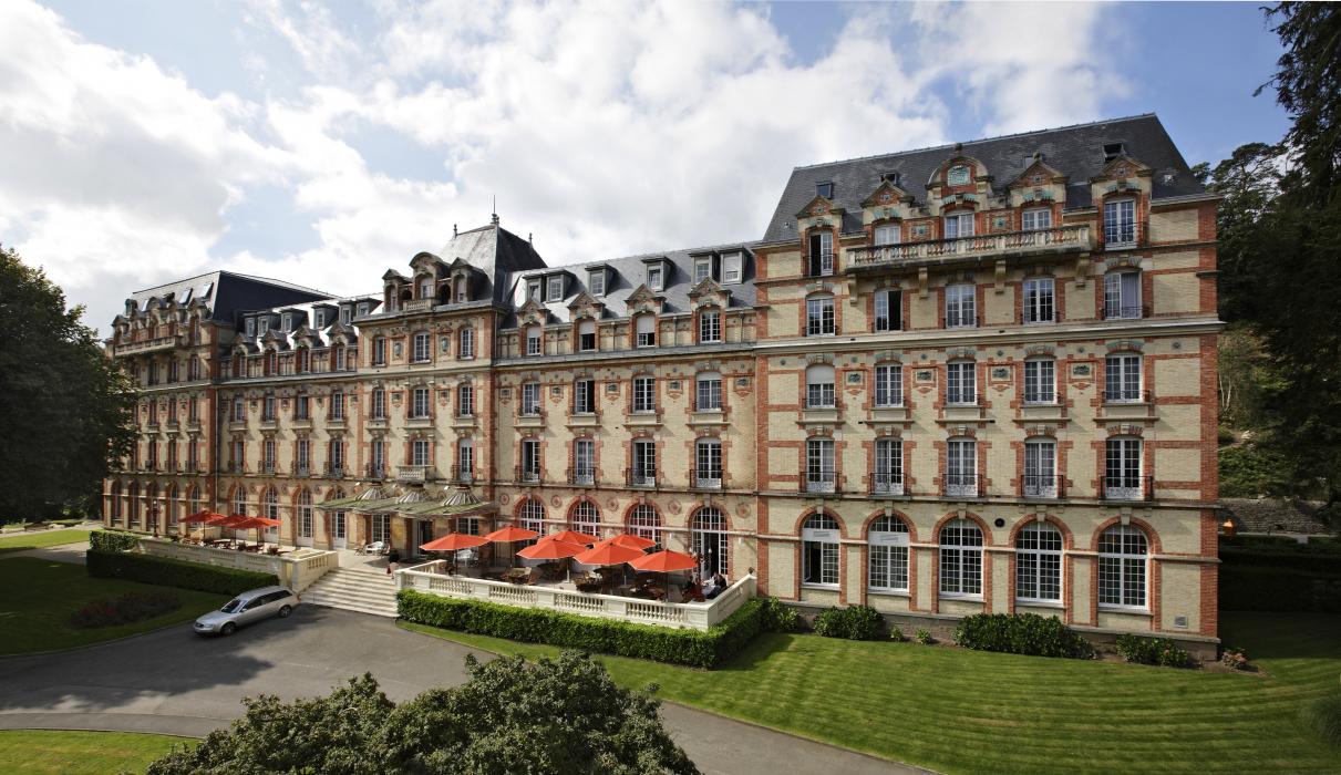
Gallery


Map and nearest places
| Longitude | Latitude |
|---|---|
| 48.549722222222194 | -0.423611111111111 |
| 48°32'0"N | 0°25'0"W |
| Nearest places | ||
|---|---|---|
 | Domfront | 16.5km |
 | Flers | 24.6km |
 | Argentan | 36.0km |
 | Alen�on | 40.3km |
| Clecy | 41.1km | |
 | Falaise | 41.8km |
| A�roport de Laval - Entrammes | 62.2km | |
| Caen - Carpiquet Airport | 69.4km | |
| Le Mans Airport | 81.2km | |
| A�rodrome de Granville - Mont Saint Michel | 91.5km | |
| Deauville - Saint-Gatien Airport | 100.0km | |
| Angers - Loire Airport | 110.3km | |
| John Paul II International Airport | 1,470.1km | |
| Tuuta Airport | 19,406.2km | |

Weblinks
Comments
You need to log in to add comment