


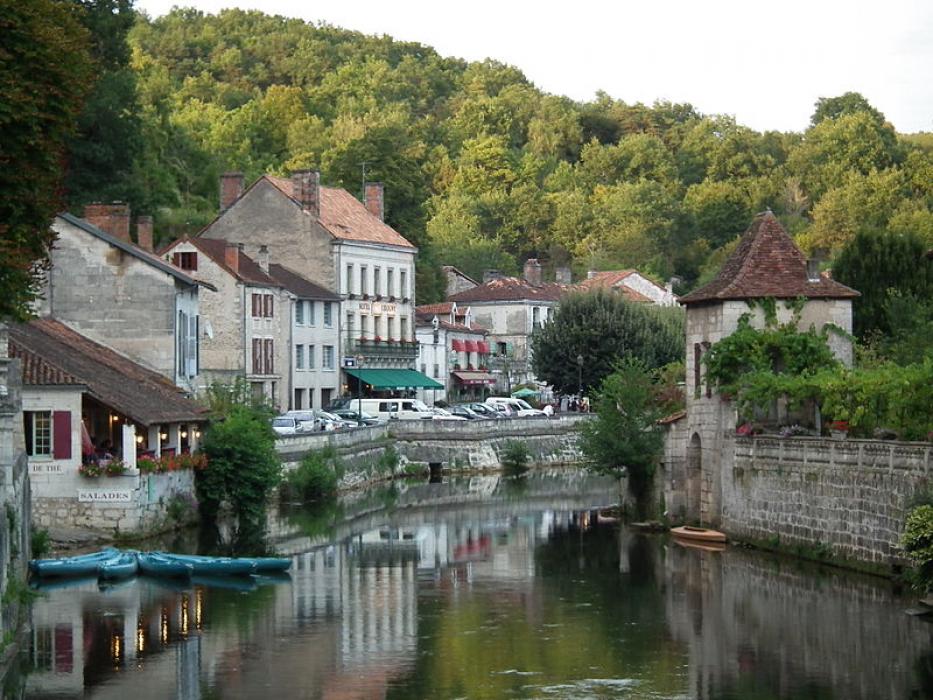
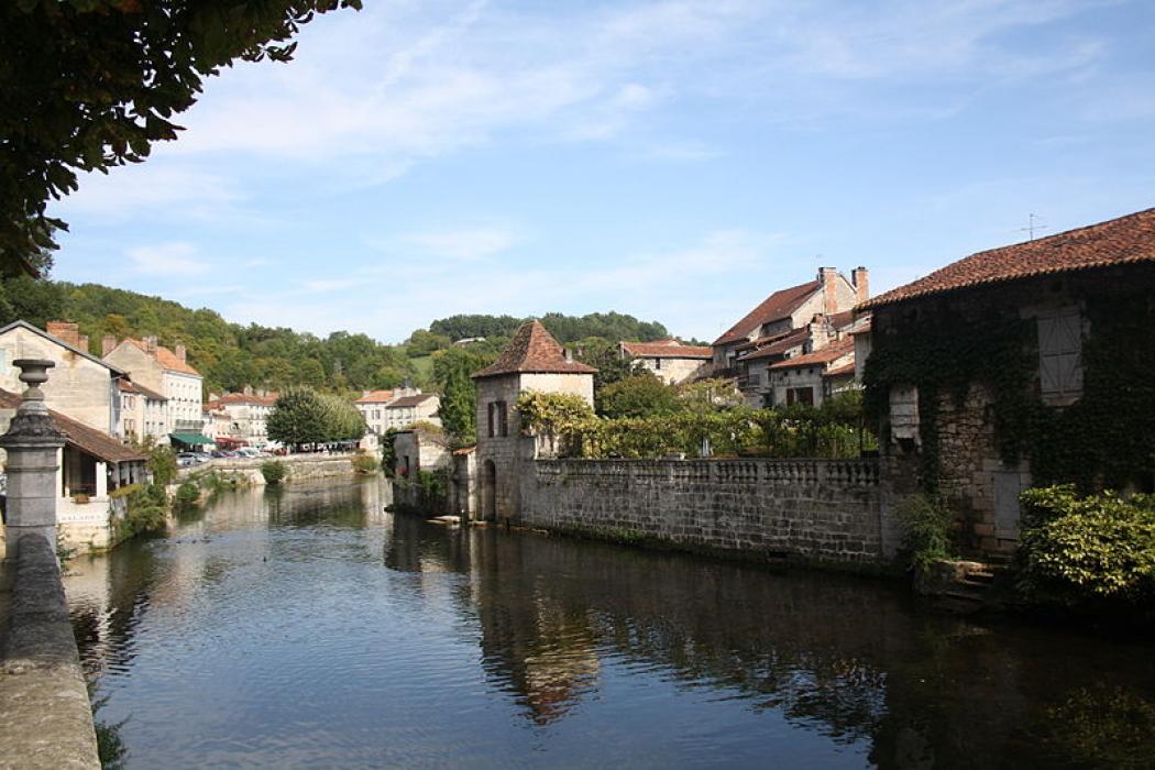

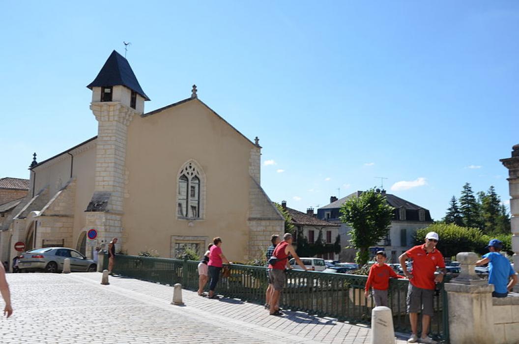
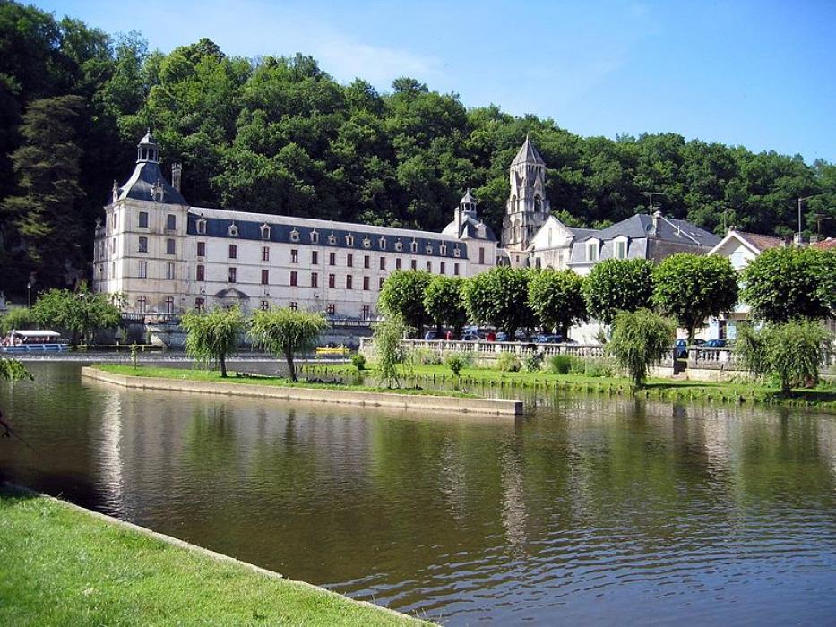


Map and nearest places
| Longitude | Latitude |
|---|---|
| 45.365 | 0.649722222222222 |
| 45°21'0"N | 0°38'0"E |
| Nearest places | ||
|---|---|---|
 | Perigueux | 20.7km |
| Airport Perigueux-Bassillac | 22.7km | |
.svg_1603712553_16.png) | Saint Astier | 26.1km |
 | Aubeterre-sur-Dronne | 38.8km |
 | Montmoreau-Saint-Cybard | 40.6km |
 | Chalais | 48.7km |
 | Angouleme | 49.5km |
| Angouleme - Brie - Champniers Airport | 52.6km | |
| Bergerac-Roumaniere Airport | 60.9km | |
| La Roche Airport | 68.9km | |
| Limoges - Bellegarde Airport | 69.0km | |
| Egletons Airport | 110.9km | |
| John Paul II International Airport | 1,519.1km | |
| Tuuta Airport | 19,728.1km | |

Restaurants
Weblinks
Comments
You need to log in to add comment