


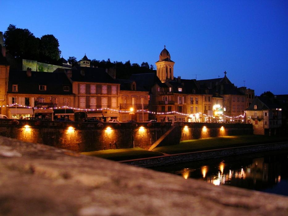
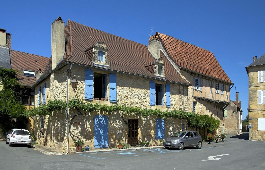
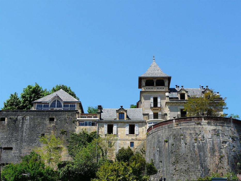
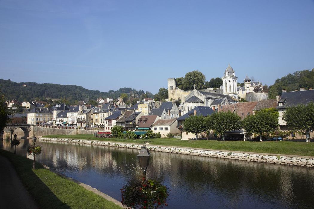
Gallery
_1028318448_700.jpg)


Map and nearest places
| Longitude | Latitude |
|---|---|
| 45.0675 | 1.16222222222222 |
| 45°4'0"N | 1°9'0"E |
| Nearest places | ||
|---|---|---|
 | Saint-Genies | 10.7km |
| Les Eyzies-de-Tayac-Sireuil | 18.4km | |
 | Sarlat-la-Canéda | 19.9km |
 | Le Bugue | 24.6km |
.svg_1465147408_16.png) | Beynac-et-Cazenc | 25.2km |
| La Roche Airport | 26.1km | |
 | Varetz | 26.7km |
| Airport Perigueux-Bassillac | 30.8km | |
| Bergerac-Roumaniere Airport | 57.4km | |
| Egletons Airport | 81.0km | |
| Lalbenque Airport | 83.5km | |
| Limoges - Bellegarde Airport | 88.4km | |
| John Paul II International Airport | 1,499.0km | |
| Tuuta Airport | 19,780.0km | |
Weblinks
Comments
You need to log in to add comment