


_904832010_700.jpg)
_1722610771_700.jpg)


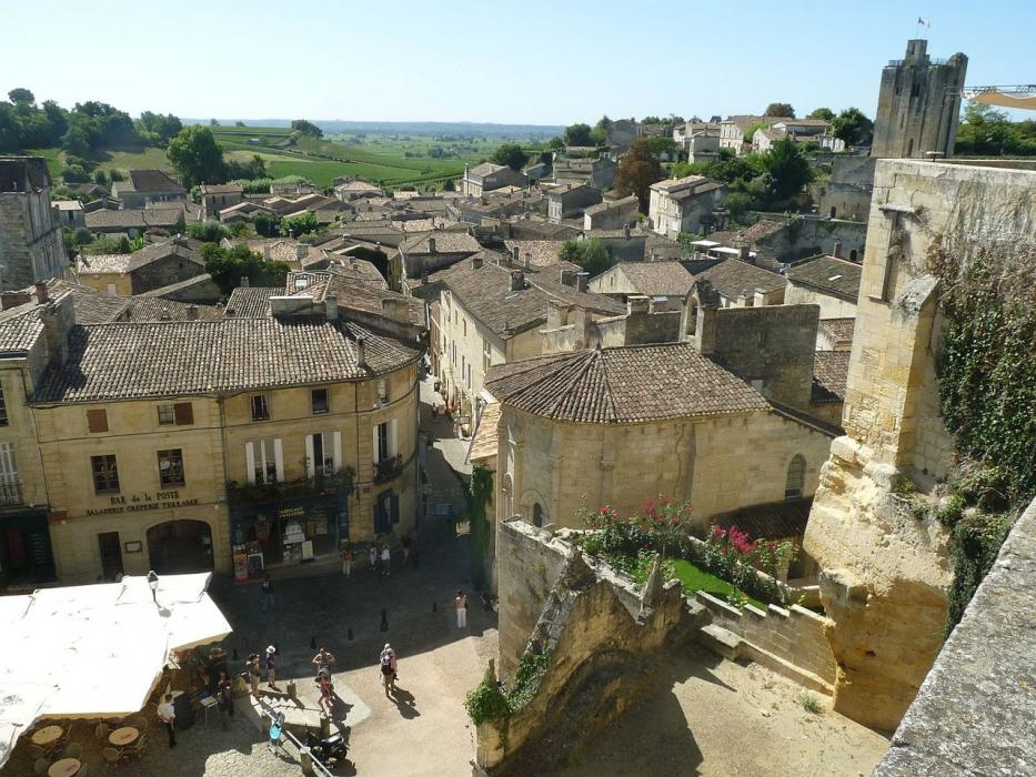
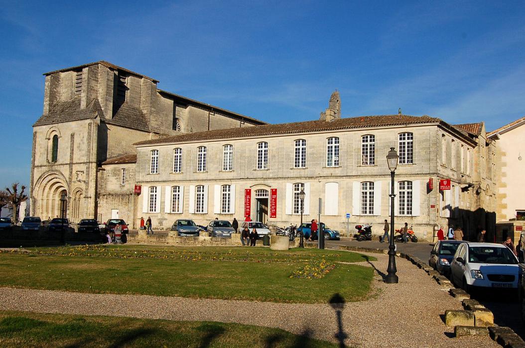
Map and nearest places
| Longitude | Latitude |
|---|---|
| 44.8936111111111 | -0.154722222222222 |
| 44°53'0"N | 0°9'0"W |
| Nearest places | ||
|---|---|---|
 | Bordeaux | 34.0km |
.svg_359670554_16.png) | Bourg | 35.6km |
 | Langon | 38.5km |
| Bordeaux/Merignac Airport | 44.8km | |
 | Chalais | 45.0km |
 | Aubeterre-sur-Dronne | 49.3km |
 | Eymet | 50.4km |
| Bergerac-Roumaniere Airport | 53.6km | |
| Airport Perigueux-Bassillac | 83.3km | |
| Angouleme - Brie - Champniers Airport | 97.4km | |
| Agen - La Garenne Aerodrome | 99.4km | |
| Medis Airport | 104.2km | |
| John Paul II International Airport | 1,599.3km | |
| Tuuta Airport | 19,697.4km | |
Weblinks
Comments
You need to log in to add comment