


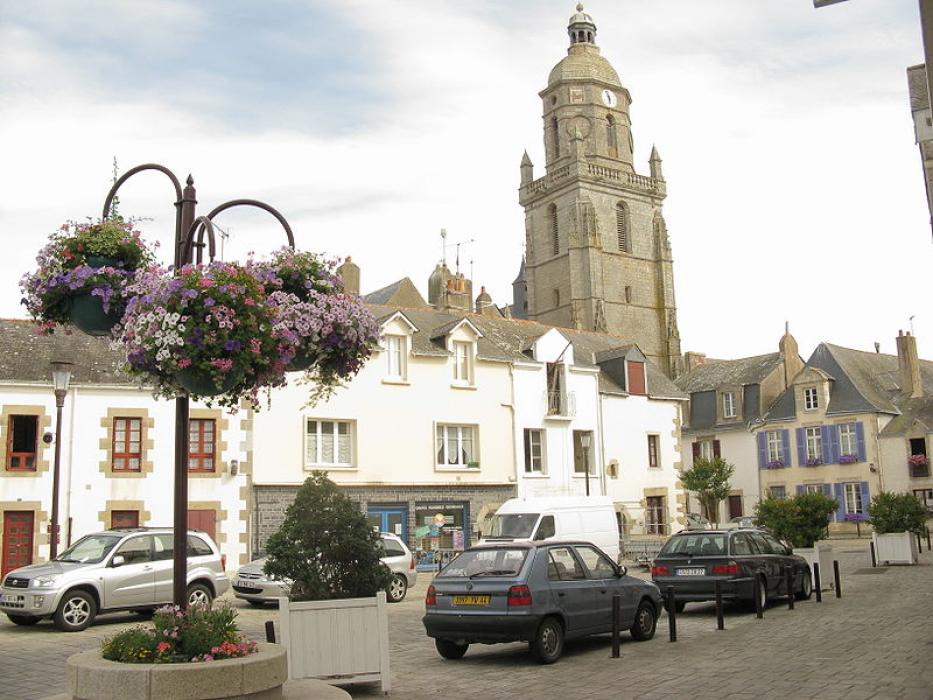

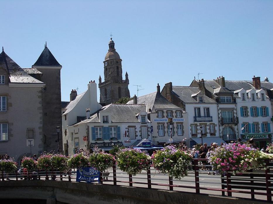


Map and nearest places
| Longitude | Latitude |
|---|---|
| 47.2938888888889 | -2.50916666666667 |
| 47°17'0"N | 2°30'0"W |
| Nearest places | ||
|---|---|---|
 | La Turballe | 5.8km |
 | Geurande | 7.1km |
 | La-Baule-Escoublac | 9.0km |
 | Pornichet | 13.0km |
 | St Nazaire | 23.3km |
| St Nazaire Airport | 27.2km | |
 | Pornic | 36.7km |
| Vannes - Golfe du Morbihan Airport | 49.9km | |
| Ile d'Yeu Aerodrome | 64.6km | |
| Nantes Atlantique Airport | 69.6km | |
| Lorient South Brittany Airport | 87.0km | |
| Aeroport de Ancenis | 101.1km | |
| John Paul II International Airport | 1,659.1km | |
| Oamaru Airport | 19,457.9km | |
Accomodation

Weblinks
Comments
You need to log in to add comment