


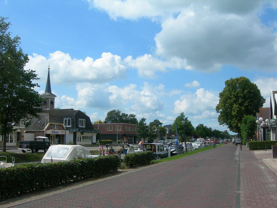
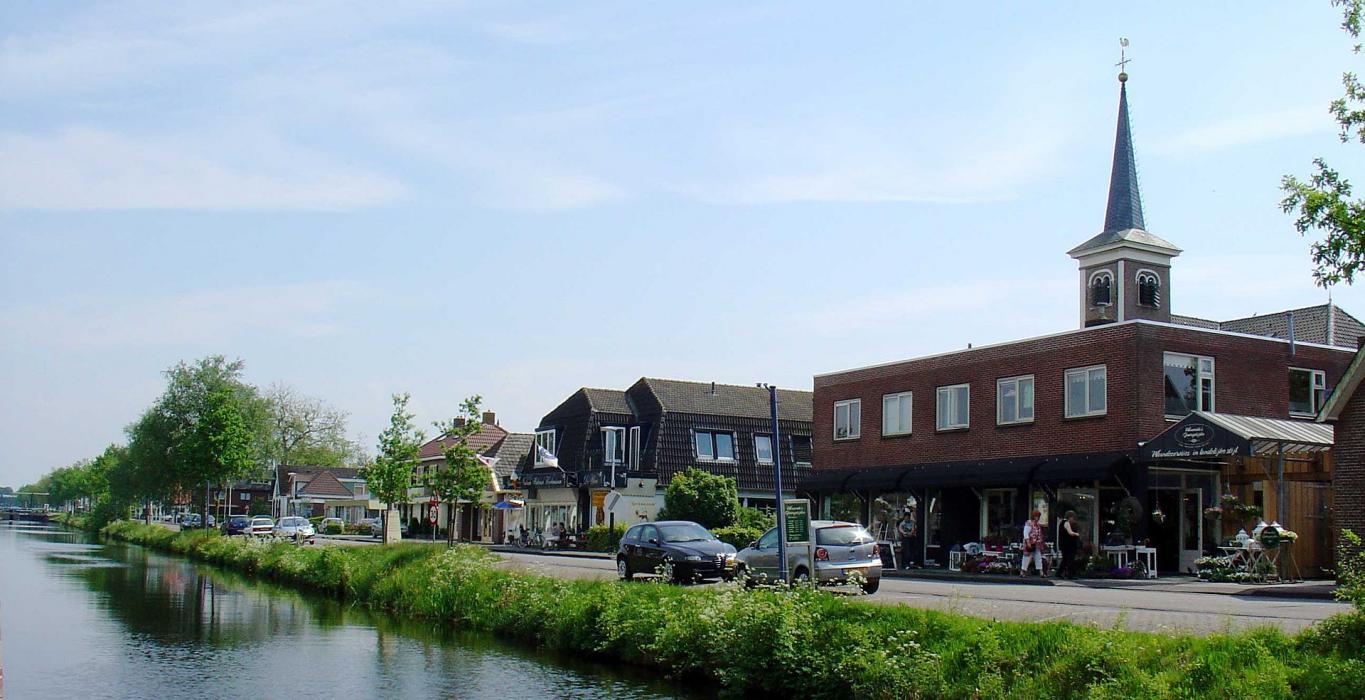
Gallery


Map and nearest places
| Longitude | Latitude |
|---|---|
| 52.955277777777795 | 6.350555555555561 |
| 52°57'0"N | 6°21'0"E |
| Nearest places | ||
|---|---|---|
| Dwingeloo | 13.5km | |
 | Assen | 13.7km |
 | Drachten | 23.2km |
| Groningen Airport Eelde | 23.8km | |
 | Hoogeveen | 26.2km |
 | Heerenveen | 28.0km |
 | Giethoorn | 30.2km |
| Ameland Airport | 71.1km | |
| Borkum Airport | 75.1km | |
| Emden Airport | 75.9km | |
| Lelystad Airport | 78.1km | |
| Teuge Airport | 81.6km | |
| John Paul II International Airport | 981.3km | |
| Tuuta Airport | 18,977.5km | |
Accomodation
Restaurants
Weblinks
Comments
You need to log in to add comment