


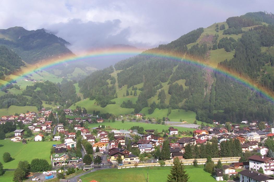


Map and nearest places
| Longitude | Latitude |
|---|---|
| 47.2413888888889 | 13.1066666666667 |
| 47°14'0"N | 13°6'0"E |
| Nearest places | ||
|---|---|---|
 | Bad Hofgastein | 7.8km |
 | Rauris | 8.6km |
 | H�ttschlag | 11.5km |
 | Taxenbach | 12.1km |
 | Sankt Johann im Pongau | 14.0km |
 | Kleinarl | 16.1km |
| Zell am See Airport | 24.7km | |
| Lienz-Nikolsdorf Airport | 52.2km | |
| W. A. Mozart Airport | 61.9km | |
| Cortina d'Ampezzo Airport | 105.7km | |
| Klagenfurt Airport | 114.7km | |
| Wels Airport | 125.9km | |
| John Paul II International Airport | 582.8km | |
| Tuuta Airport | 19,178.8km | |
Accomodation
Weblinks
Comments
You need to log in to add comment