


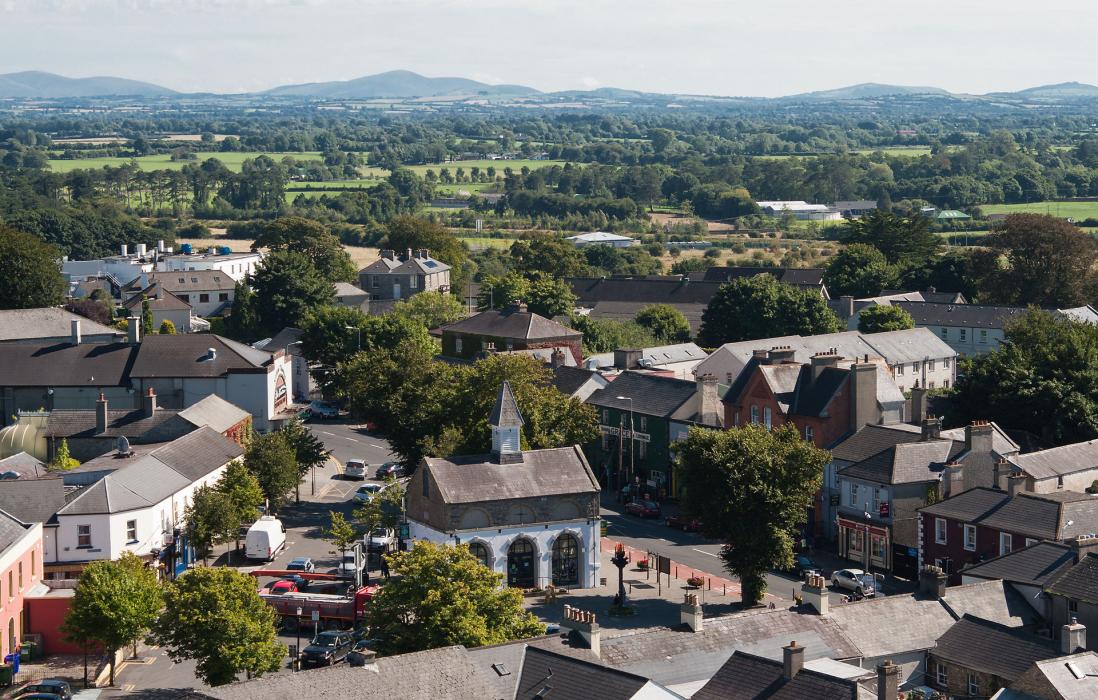


Map and nearest places
| Longitude | Latitude |
|---|---|
| 53.1569444444444 | -6.908888888888891 |
| 53°9'0"N | 6°54'0"W |
| Nearest places | ||
|---|---|---|
| Newbridge | 7.5km | |
| Naas | 17.4km | |
| Athy | 19.9km | |
| Blessington | 25.0km | |
| Celbridge | 31.6km | |
| Maynooth | 32.9km | |
| Weston Airport | 35.3km | |
| Dublin Airport | 51.7km | |
| Waterford Airport | 108.5km | |
| Galway Airport | 136.1km | |
| Shannon Airport | 144.3km | |
| Enniskillen/St Angelo Airport | 146.4km | |
| John Paul II International Airport | 1,863.1km | |
| Stewart Island Airport | 19,233.8km | |
Accomodation
Restaurants
Golfs club
Breweries
Weblinks
Comments
You need to log in to add comment