


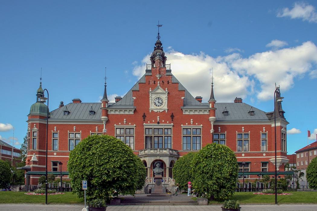
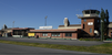
Gallery


Map and nearest places
| Longitude | Latitude |
|---|---|
| 63.825555555555596 | 20.2636111111111 |
| 63°49'0"N | 20°15'0"E |
| Nearest places | ||
|---|---|---|
| Umea Airport | 3.9km | |
| V�nn�s | 27.1km | |
| Nordmaling | 47.4km | |
| Ornskoldsvik Airport | 78.2km | |
 | Ornskoldsvik | 96.8km |
| Skelleftea Airport | 97.2km | |
 | Vaasa | 104.5km |
 | Skelleftea | 108.0km |
| Lycksele Airport | 109.8km | |
| Vaasa Airport | 113.9km | |
 | Lyckesle | 115.7km |
| Kruunupyy Airport | 142.4km | |
| John Paul II International Airport | 1,528.9km | |
| Tuuta Airport | 17,551.1km | |
Restaurants
Museums
Golfs club
Breweries
Airports
Weblinks
Comments
You need to log in to add comment