


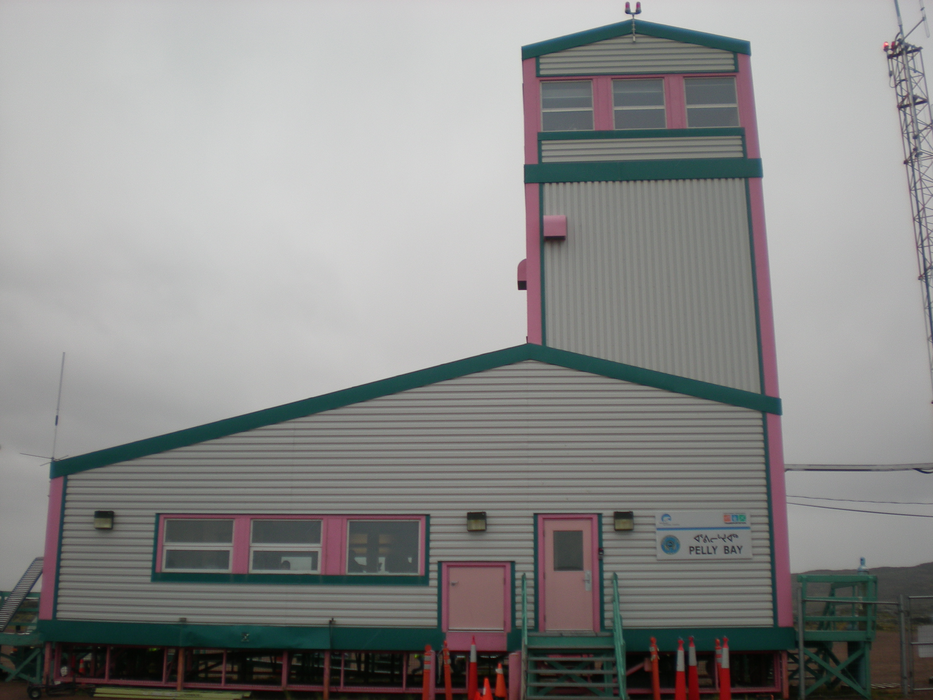
Gallery


Map and nearest places
| Longitude | Latitude |
|---|---|
| 68.5344444444444 | -89.80805555555558 |
| 68°32'0"N | 89°48'0"W |
| Nearest places | ||
|---|---|---|
| Kugaaruk | 0.8km | |
| Taloyoak | 185.2km | |
| Taloyoak Airport | 187.4km | |
| Gjoa Haven Airport | 245.5km | |
| Gjoa Haven | 246.5km | |
| Repulse Bay | 270.3km | |
| Repulse Bay Airport | 270.6km | |
| Igloolik Airport | 332.0km | |
| Igloolik | 332.9km | |
| Hall Beach Airport | 347.4km | |
| Hall Beach | 348.2km | |
| Arctic Bay Airport | 526.5km | |
| John Paul II International Airport | 5,624.5km | |
| Albany Airport | 15,902.9km | |
General informations
| Airport type | Local airport |
| ICAO | CYBB |
| IATA | YBB |
| Elevation | 56 ft / 17 m MSL |
| World Pax Ranking 2010 | #2321 |
| Year | Pax |
|---|---|
| 2010 | 0 |
| 2009 | 0 |
| 2008 | 0 |
| 2007 | 0 |
| 2006 | 0 |
Weblinks
Comments
You need to log in to add comment