


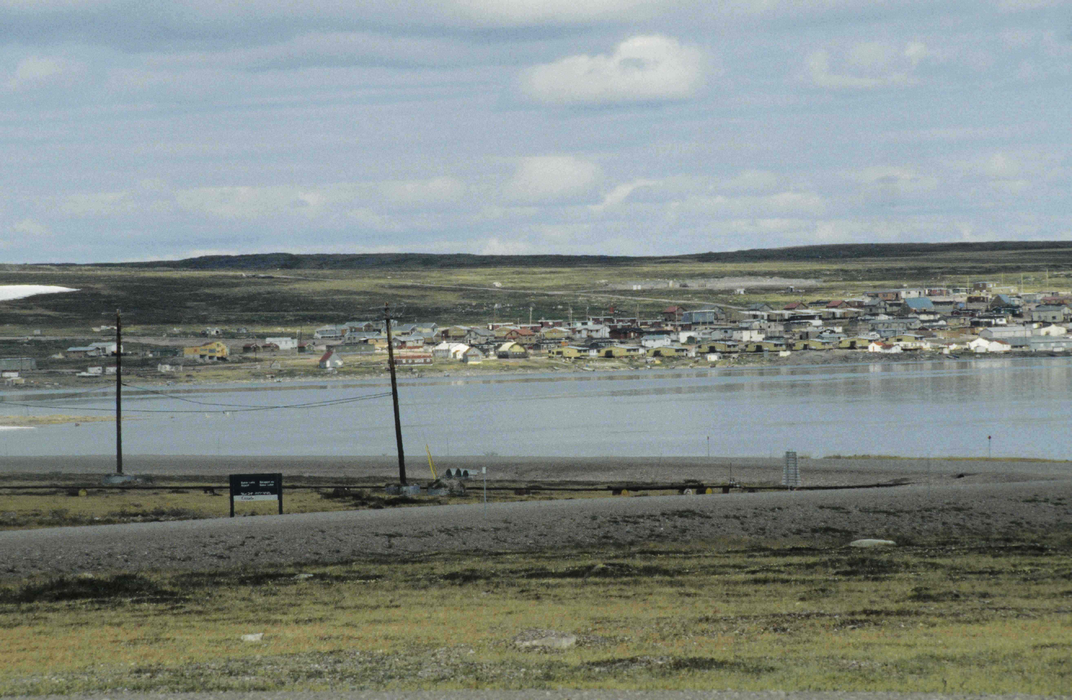


Map and nearest places
| Longitude | Latitude |
|---|---|
| 64.3180555555555 | -96.0175 |
| 64°19'0"N | 96°1'0"W |
| Nearest places | ||
|---|---|---|
| Baker Lake Airport | 4.0km | |
| Rankin Inlet Airport | 255.6km | |
| Chesterfield Inlet | 256.2km | |
| Rankin Inlet | 256.3km | |
| Chesterfield Inlet Airport | 280.7km | |
| Whale Cove Airport | 287.4km | |
| Whale Cove | 294.1km | |
| Arviat | 370.6km | |
| Arviat Airport | 372.0km | |
| Gjoa Haven | 479.0km | |
| Gjoa Haven Airport | 480.1km | |
| Repulse Bay | 513.8km | |
| John Paul II International Airport | 6,142.7km | |
| Albany Airport | 16,036.9km | |
Accomodation
Airports
Weblinks
Comments
You need to log in to add comment