


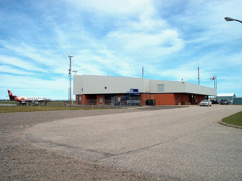
Gallery


Map and nearest places
| Longitude | Latitude |
|---|---|
| 49.8316666666667 | -92.7441666666667 |
| 49°49'0"N | 92°44'0"W |
| Nearest places | ||
|---|---|---|
| Dryden | 8.4km | |
| Sioux Lookout | 66.3km | |
| Sioux Lookout Airport | 67.7km | |
| Ignace Municipal Airport | 86.4km | |
| Ignace | 90.3km | |
| Kenora Airport | 116.3km | |
| Kenora | 125.0km | |
| Fort Frances Municipal Airport | 140.3km | |
| Atikokan Municipal Airport | 142.3km | |
 | Fort Frances | 143.4km |
| Atikokan | 145.4km | |
| Falls International Airport | 148.6km | |
| John Paul II International Airport | 7,193.8km | |
| Busselton Regional Airport | 17,100.3km | |
General informations
| ICAO | CYHD |
| IATA | YHD |
| Elevation | 1,354 ft / 413 m MSL |
| Year | Pax |
|---|---|
| 2019 | |
| 2018 | |
| 2010 | |
| 2008 | 0 |
| 2007 | 0 |
| 2000 | 12694 |
| 1999 | 11231 |
| 1998 | 14591 |
| 1997 | 15155 |
| 1996 | 16303 |
| 1995 | 15728 |
| 1994 | 14286 |
| 1993 | 16265 |
| 1992 | 19653 |
| 1991 | 21094 |
| 1990 | 21421 |
| 1989 | 30060 |
| 1988 | 35741 |
Weblinks
Comments
You need to log in to add comment