


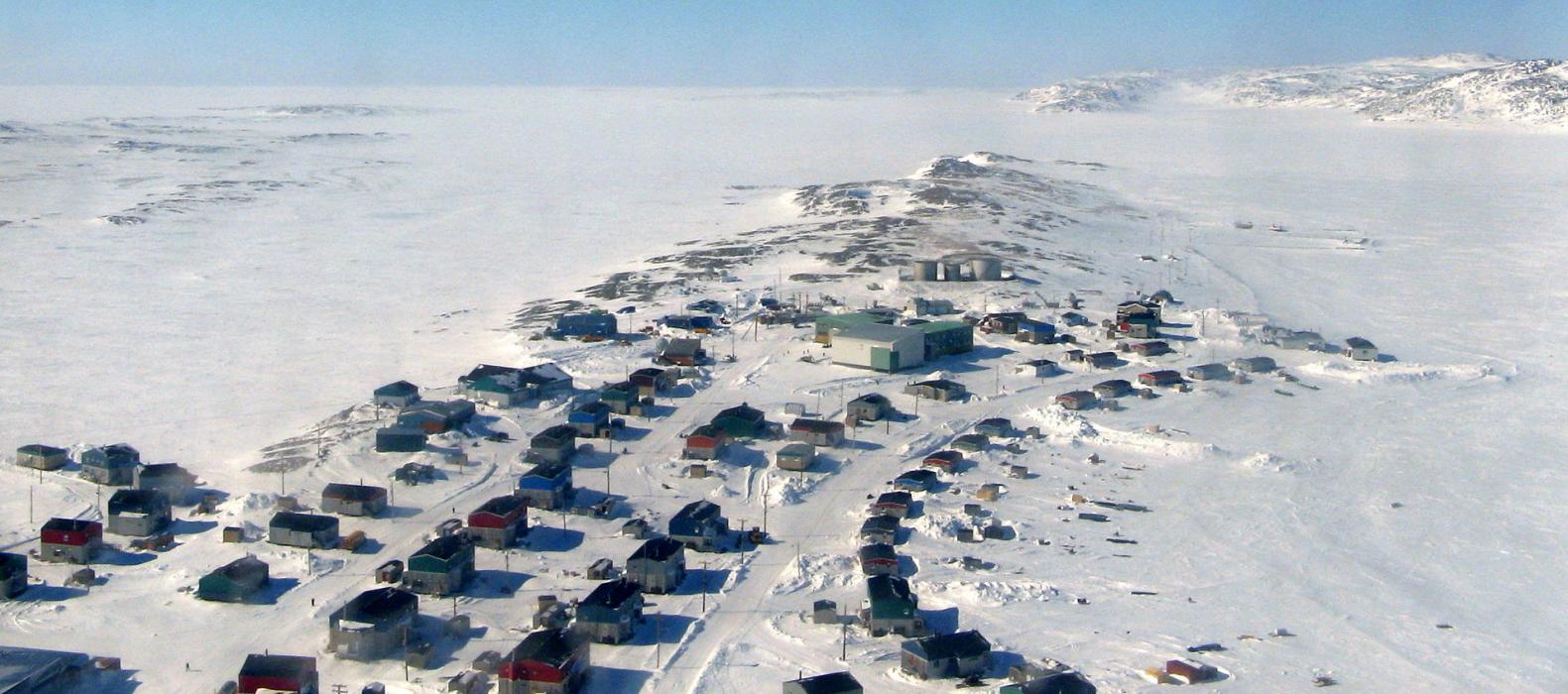
Gallery


Map and nearest places
| Longitude | Latitude |
|---|---|
| 60.8019444444444 | -78.2152777777778 |
| 60°48'0"N | 78°12'0"W |
| Nearest places | ||
|---|---|---|
| Akulivik Airport | 4.1km | |
| Puvirnituq Airport | 97.9km | |
| Puvirnituq | 99.6km | |
| Salluit Airport | 204.3km | |
| Salluit | 207.2km | |
| Inukjuak Airport | 259.2km | |
| Inukjuak | 261.6km | |
| Kangiqsujuaq | 346.1km | |
| Kangiqsujuaq Airport | 347.8km | |
| Cape Dorset Airport | 390.9km | |
| Cape Dorset | 390.9km | |
| Coral Harbour | 449.4km | |
| John Paul II International Airport | 5,698.9km | |
| Albany Airport | 16,920.5km | |
Airports
Weblinks
Comments
You need to log in to add comment