


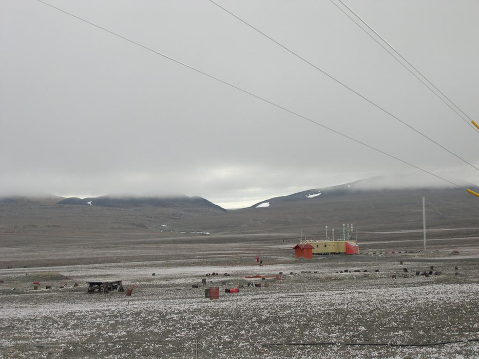
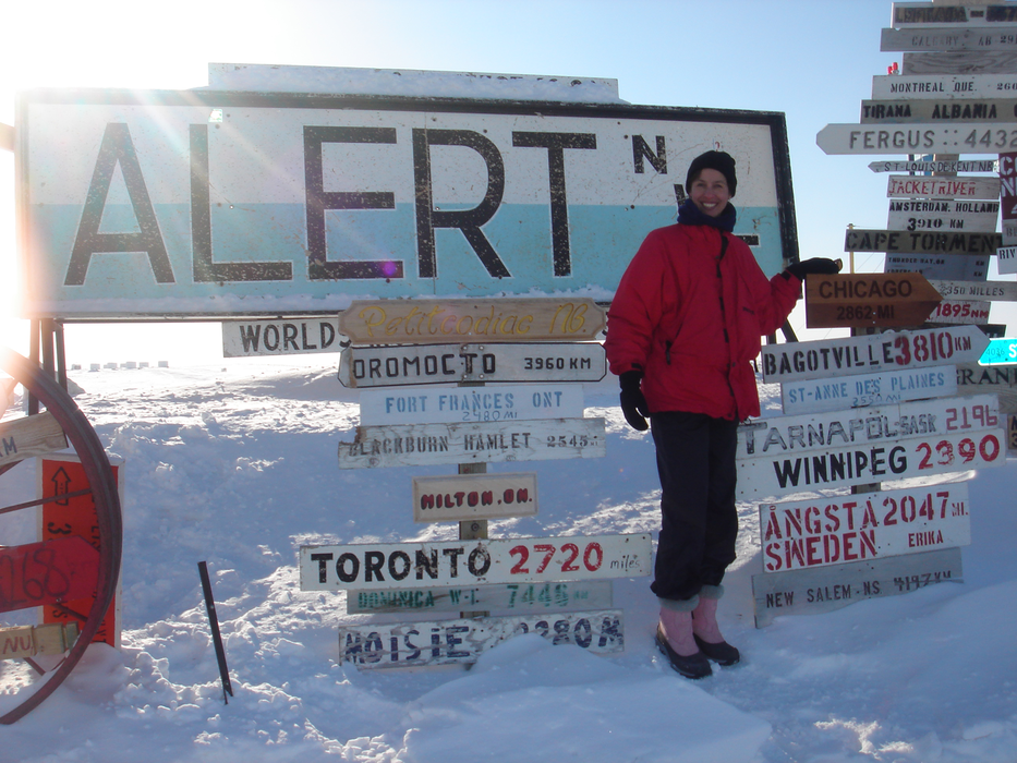


Map and nearest places
| Longitude | Latitude |
|---|---|
| 82.5013888888889 | -62.3388888888889 |
| 82°30'0"N | 62°20'0"W |
| Nearest places | ||
|---|---|---|
| Alert Airport | 2.0km | |
| Eureka Airport | 479.7km | |
| Eureka | 482.5km | |
| Qaanaaq Airport | 572.8km | |
| Qaanaaq | 574.5km | |
| Kangersuatsiaq | 583.6km | |
| Pitifuik | 675.2km | |
| Thule Air Base | 675.2km | |
| Grise Fiord Airport | 784.4km | |
| Grise Fjord | 785.1km | |
| Aappilattoq Heliport | 1,079.2km | |
| Upernavik | 1,088.7km | |
| John Paul II International Airport | 4,390.1km | |
| Stewart Island Airport | 15,714.6km | |
Airports
Weblinks
Comments
You need to log in to add comment