


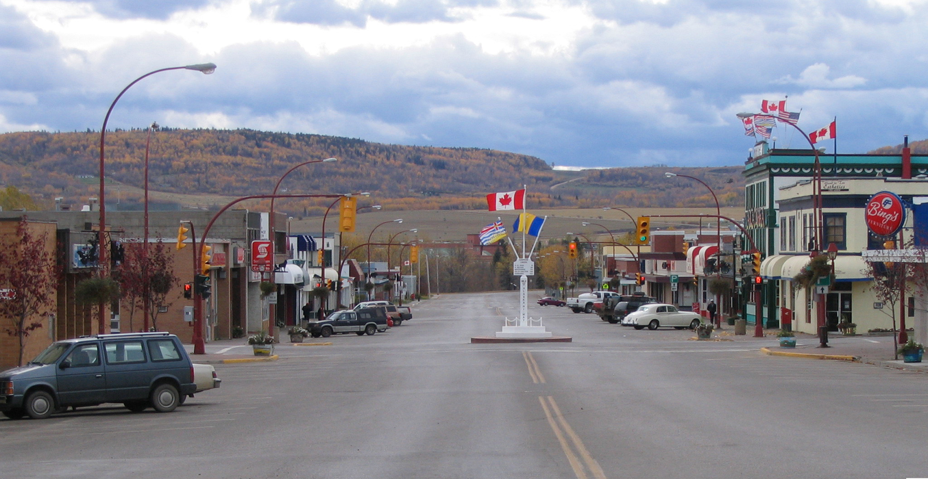
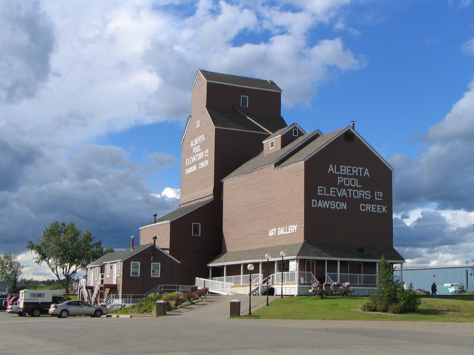
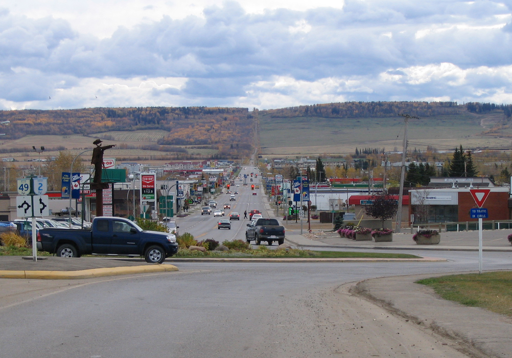


Map and nearest places
| Longitude | Latitude |
|---|---|
| 55.760556 | -120.235556 |
| 55°45'0"N | 120°14'0"W |
| Nearest places | ||
|---|---|---|
| Dawson Creek Airport | 3.9km | |
| Taylor | 52.5km | |
| Fort St. John Airport | 61.7km | |
| Fort St John | 66.1km | |
| Beaverlodge | 79.6km | |
| Tumbler Ridge | 85.7km | |
| Chetwynd Airport | 87.5km | |
 | Chetwynd | 87.8km |
| Grande Prairie Airport | 106.8km | |
| Hudsons Hope | 108.4km | |
| Hudson's Hope Airport | 112.7km | |
| Peace River Airport | 181.0km | |
| John Paul II International Airport | 7,679.6km | |
| East London Airport | 16,491.7km | |
Restaurants
Golfs club
Airports
_1654810011_50.jpg)
Weblinks
Comments
On 08-22-2021 21:27 Jerzy said:
There are 745.98 km (463.53 miles) from Dawson Creek to Vancouver in southwest direction and 1,190.91 km (740 miles) by car, following the 1 E and 97C E route.
On 09-07-2020 19:53 Jerzy said:
I love Sushi what can you tell me about your.
You need to log in to add comment
There are 745.98 km (463.53 miles) from Dawson Creek to Vancouver in southwest direction and 1,190.91 km (740 miles) by car, following the 1 E and 97C E route.
On 09-07-2020 19:53 Jerzy said:
I love Sushi what can you tell me about your.
You need to log in to add comment