


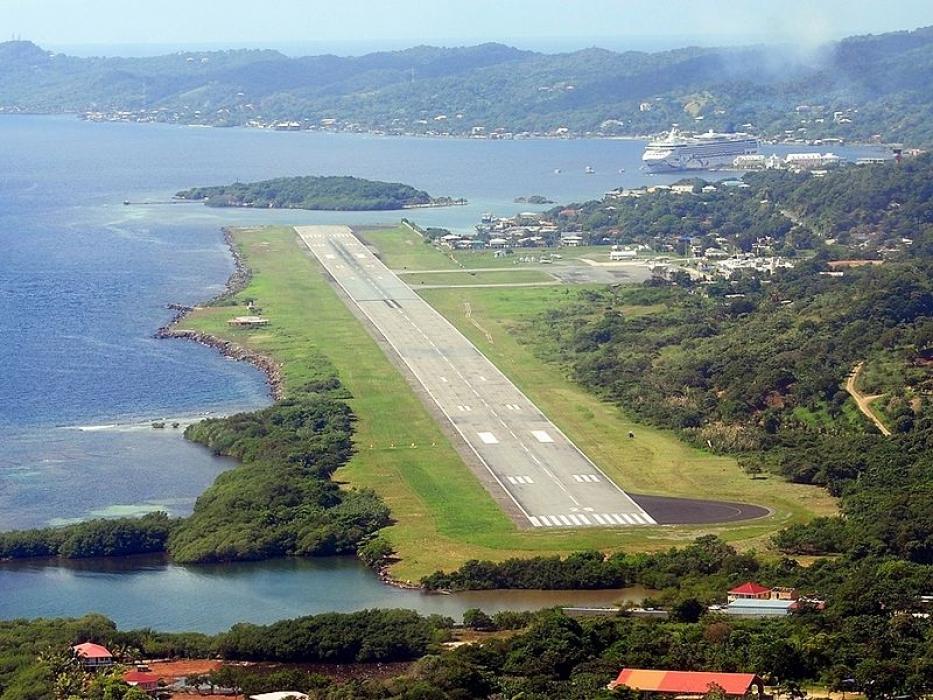
Gallery


Map and nearest places
| Longitude | Latitude |
|---|---|
| 16.3166666666667 | -86.5227777777778 |
| 16°19'0"N | 86°31'0"W |
| Nearest places | ||
|---|---|---|
| Roatan | 15.1km | |
| Utila Airport | 46.3km | |
| Utila | 50.0km | |
| La Ceiba | 65.5km | |
| Guanaja Airport | 67.3km | |
| Guanaja | 70.2km | |
 | Trujillo | 71.4km |
| Goloson International Airport | 73.0km | |
| La Mesa International Airport | 178.0km | |
| San Pedro Sula | 182.4km | |
| Placencia Airport | 197.7km | |
| Puerto Barrios Airport | 229.7km | |
| John Paul II International Airport | 9,736.6km | |
| Cocos Islands Airport | 19,430.7km | |
General informations
| Airport type | Regional airport |
| ICAO | MHRO |
| IATA | RTB |
| Elevation | 39 ft / 12 m MSL |
| World Pax Ranking 2023 | #1012 |
| World Pax Ranking 2018 | #1184 |
| World Pax Ranking 2016 | #1176 |
| World Pax Ranking 2014 | #1255(-1) |
| World Pax Ranking 2013 | #1254(-5) |
| World Pax Ranking 2012 | #1249(-59) |
| World Pax Ranking 2011 | #1190(+3) |
| World Pax Ranking 2010 | #1193(+49) |
| Year | Pax |
|---|---|
| 2024 | 619252 |
| 2023 | 550422 |
| 2018 | 429368 |
| 2016 | 371657 |
| 2014 | 286738 |
| 2013 | 263000 |
| 2012 | 247674 |
| 2011 | 247000 |
| 2010 | 214000 |
| 2009 | 172000 |
| 2008 | 209310 |
| 2007 | 223956 |
| 2006 | 208152 |
| 2005 | 215994 |
| 2004 | 204654 |
| 2003 | 235854 |
| 2002 | 225956 |
| 2001 | 213170 |
| 2000 | 168714 |
| 1999 | 117582 |
| 1996 | 179936 |
| 1995 | 192283 |
Weblinks
Comments
You need to log in to add comment