


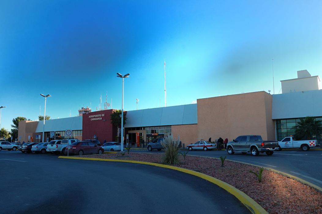
Gallery


Map and nearest places
| Longitude | Latitude |
|---|---|
| 28.702777777777804 | -105.964444444444 |
| 28°42'0"N | 105°57'0"W |
| Nearest places | ||
|---|---|---|
 | Chihuahua | 13.4km |
| Presidio | 182.2km | |
| Presidio Lely International Airport | 186.9km | |
| Nuevo Casas Grandes Airport | 263.9km | |
 | Nuevo Casas Grandes | 267.7km |
| Van Horn | 282.1km | |
| Culberson County Airport | 285.5km | |
| Alpine | 287.9km | |
| Alpine-Casparis Municipal Airport | 289.2km | |
| Fort Davis | 290.3km | |
| Abraham Gonzales International Airport | 329.2km | |
| El Paso International Airport | 347.5km | |
| John Paul II International Airport | 9,756.1km | |
| Sir Ga�tan Duval Airport | 18,546.6km | |
General informations
| Airport type | Regional airport |
| ICAO | MMCU |
| IATA | CUU |
| Elevation | 4,462 ft / 1,360 m MSL |
| World Pax Ranking 2023 | #544(-8) |
| World Pax Ranking 2022 | #536(-23) |
| World Pax Ranking 2021 | #513(+66) |
| World Pax Ranking 2020 | #579(+72) |
| World Pax Ranking 2019 | #651(+22) |
| World Pax Ranking 2018 | #673(-6) |
| World Pax Ranking 2017 | #667(+7) |
| World Pax Ranking 2016 | #674(+32) |
| World Pax Ranking 2015 | #706(+54) |
| World Pax Ranking 2014 | #760(-12) |
| World Pax Ranking 2013 | #748(0) |
| World Pax Ranking 2012 | #748(+5) |
| World Pax Ranking 2011 | #753(-56) |
| World Pax Ranking 2010 | #697(+8) |
| Year | Pax |
|---|---|
| 2023 | 1905714 |
| 2022 | 1727006 |
| 2021 | 1363937 |
| 2020 | 818151 |
| 2019 | 1699816 |
| 2018 | 1556770 |
| 2017 | 1409579 |
| 2016 | 1305961 |
| 2015 | 1110513 |
| 2014 | 961538 |
| 2013 | 885659 |
| 2012 | 855129 |
| 2011 | 782133 |
| 2010 | 828123 |
| 2009 | 745165 |
| 2008 | 880244 |
| 2007 | 914988 |
| 2006 | 717049 |
| 2005 | 654503 |
| 2004 | 627162 |
| 2003 | 6079990 |
| 2002 | 571462 |
| 2001 | 591347 |
| 2000 | 526000 |
| 1999 | 539000 |
| 1998 | 468412 |
| 1997 | 400848 |
| 1996 | 381000 |
| 1995 | 411000 |
Weblinks
Comments
You need to log in to add comment