


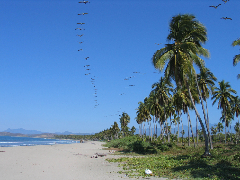
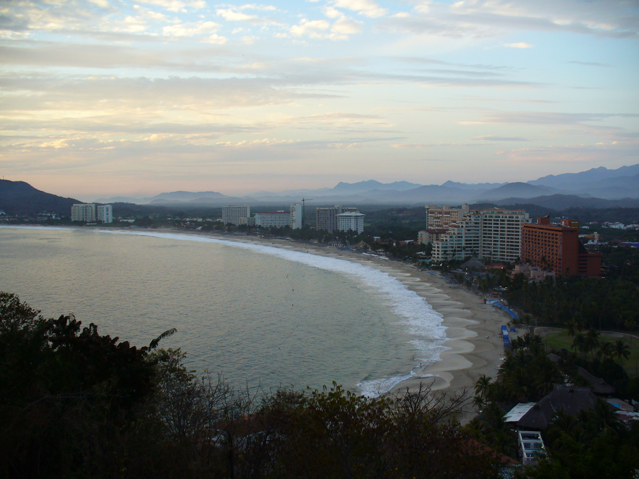


Map and nearest places
| Longitude | Latitude |
|---|---|
| 17.6366666666667 | -101.551388888889 |
| 17°38'0"N | 101°33'0"W |
| Nearest places | ||
|---|---|---|
| Ixtapa-Zihuatanejo International Airport | 10.4km | |
 | Lázaro Cárdenas | 76.6km |
| Lazaro Cardenas Airport | 81.6km | |
 | Acapulco | 196.8km |
| Uruapan International Airport | 202.3km | |
 | Uruapan | 205.3km |
| General Juan N. Alvarez International Airport | 214.5km | |
| Chilpancingo National Airport | 216.0km | |
| Chilpancingo | 217.6km | |
| Morelia | 240.1km | |
| General Francisco Mujica International Airport | 252.2km | |
| Toluca | 271.7km | |
| John Paul II International Airport | 10,554.2km | |
| Sir Gaëtan Duval Airport | 18,409.2km | |
Accomodation
Restaurants
Airports
Weblinks
Comments
You need to log in to add comment