


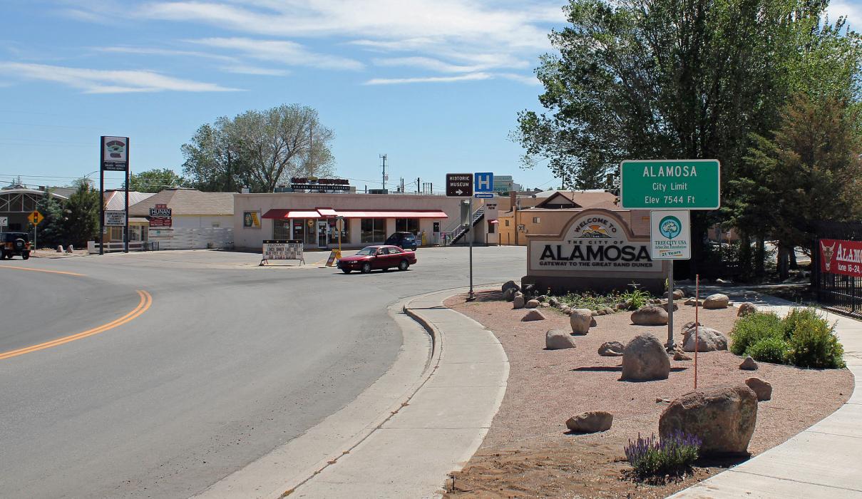
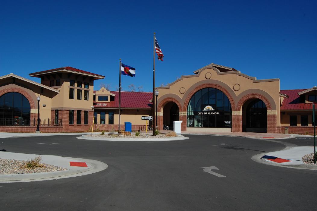
Gallery


Map and nearest places
| Longitude | Latitude |
|---|---|
| 37.4688888888889 | -105.873611111111 |
| 37°28'0"N | 105°52'0"W |
| Nearest places | ||
|---|---|---|
| San Luis Valley Regional Airport | 3.8km | |
| Monte Vista Municipal Airport | 16.6km | |
| Monte Vista | 26.9km | |
| Blanca Airport | 29.1km | |
| Blanca | 32.3km | |
| Center | 37.8km | |
| Leach Airport | 38.3km | |
| Del Norte | 48.3km | |
| Del Norte Municipal & County Airport | 50.4km | |
| South Fork | 71.4km | |
| Saguache Municipal Airport | 74.9km | |
| La Veta | 76.5km | |
| John Paul II International Airport | 8,921.7km | |
| Sir Ga�tan Duval Airport | 17,786.8km | |
Accomodation
Restaurants
Golfs club
Breweries
Airports

Weblinks
Comments
On 01-02-2020 17:06 Jerzy said:
There are 163.87 miles from Alamosa to Denver in northeast direction and 234 miles (376.59 kilometers) by car, following the I-25 N and US-50 W route.
You need to log in to add comment
There are 163.87 miles from Alamosa to Denver in northeast direction and 234 miles (376.59 kilometers) by car, following the I-25 N and US-50 W route.
You need to log in to add comment