


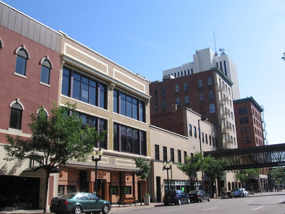
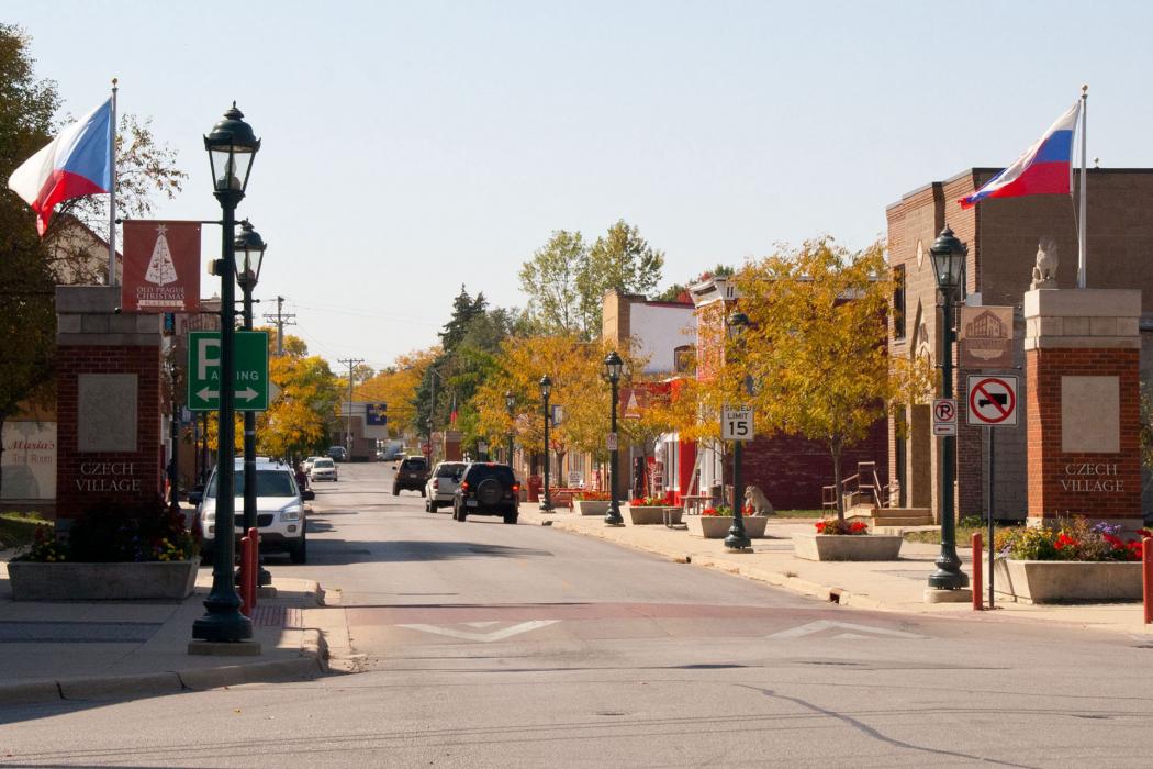
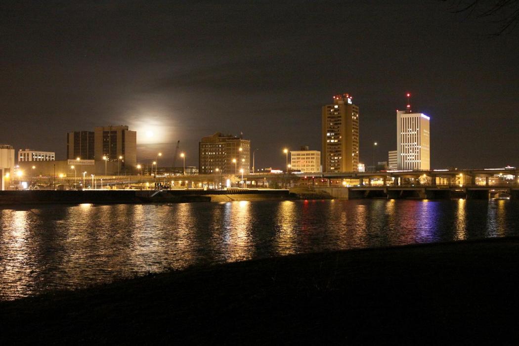
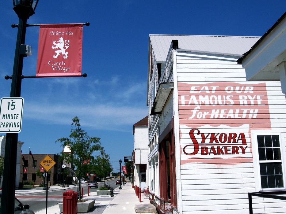


Map and nearest places
| Longitude | Latitude |
|---|---|
| 41.983333 | -91.668611 |
| 41°58'0"N | 91°40'0"W |
| Nearest places | ||
|---|---|---|
| The Eastern Iowa Airport | 11.5km | |
| Coralville | 33.5km | |
| Anamosa | 34.9km | |
| Vinton | 35.7km | |
| Iowa City | 38.3km | |
| Vinton Veterans Memorial Airpark | 39.4km | |
| Iowa City Municipal Airport | 39.6km | |
| Kalona | 55.3km | |
| Atlantic Municipal Airport | 71.7km | |
| Rusk County Airport | 77.4km | |
| Waterloo | 79.5km | |
| Muscatine Municipal Airport | 80.9km | |
| John Paul II International Airport | 7,807.3km | |
| Busselton Regional Airport | 17,479.2km | |
Accomodation
Golfs club
Wineries
Airports
Weblinks
Comments
You need to log in to add comment