


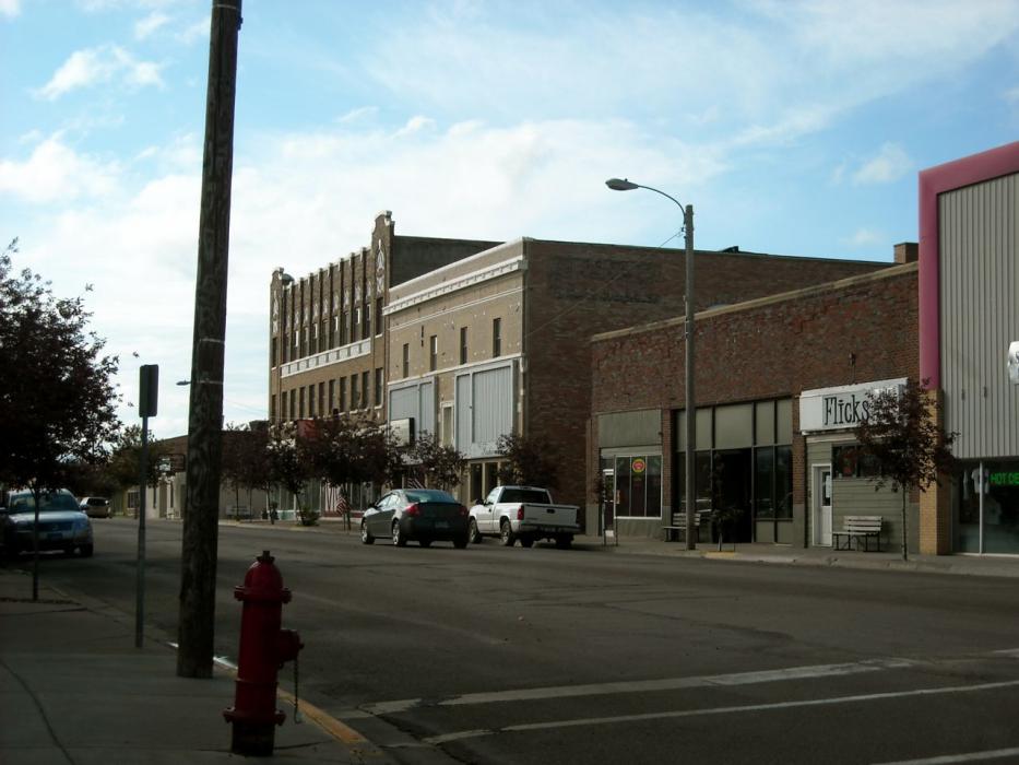
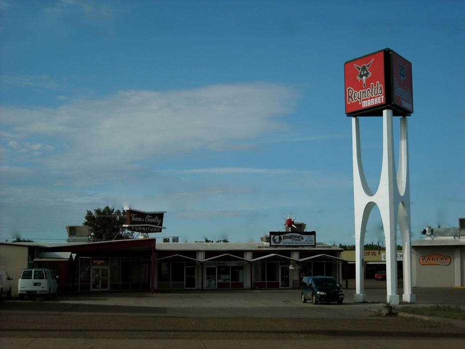
Gallery


Map and nearest places
| Longitude | Latitude |
|---|---|
| 48.1836111111111 | -106.635277777778 |
| 48°11'0"N | 106°38'0"W |
| Nearest places | ||
|---|---|---|
| Glasgow Airport | 3.6km | |
| Wolf Point | 74.4km | |
| L. M. Clayton Airport | 79.3km | |
| Malta | 93.5km | |
| Malta Airport | 97.2km | |
| Jordan Airport | 98.0km | |
| Poplar | 107.2km | |
| Circle | 115.7km | |
| Circle Town County Airport | 116.9km | |
| Big Sky Field Airport | 158.1km | |
| Culberston | 158.4km | |
| Plentywood | 166.6km | |
| John Paul II International Airport | 7,948.9km | |
| Sir Gaëtan Duval Airport | 16,728.9km | |
Restaurants
Breweries
Airports
Weblinks
Comments
You need to log in to add comment