


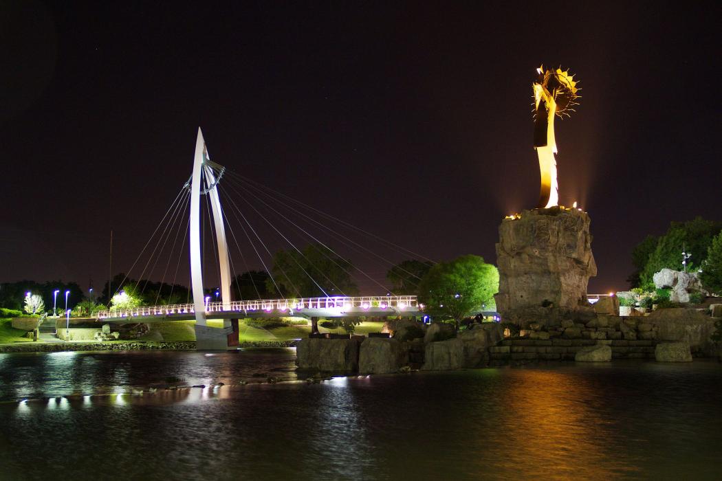


Map and nearest places
| Longitude | Latitude |
|---|---|
| 37.688889 | -97.336111 |
| 37°41'0"N | 97°20'0"W |
| Nearest places | ||
|---|---|---|
| Wichita Mid-Continent Airport | 9.6km | |
| Beech Factory Airport | 10.7km | |
| Colonel James Jabara Airport | 12.0km | |
| Augusta Municipal Airport | 22.8km | |
| Augusta | 31.3km | |
| Newton | 39.5km | |
| Newton City/County Airport | 41.4km | |
| El Dorado | 44.5km | |
| Captain Jack Thomas/El Dorado Airport | 46.6km | |
| Hutchinson | 66.5km | |
| Mc Pherson | 81.1km | |
| Anthony | 85.4km | |
| John Paul II International Airport | 8,480.7km | |
| Sir Ga�tan Duval Airport | 17,284.7km | |
Accomodation
Restaurants
Golfs club
Wineries
Spirits Distillery
Breweries
Weblinks
Comments
You need to log in to add comment