


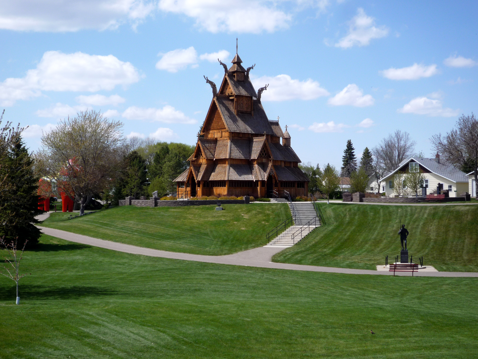


Map and nearest places
| Longitude | Latitude |
|---|---|
| 48.2330555555556 | -101.292222222222 |
| 48°13'0"N | 101°17'0"W |
| Nearest places | ||
|---|---|---|
| Minot International Airport | 3.1km | |
| Kenmare Municipal Airport | 73.7km | |
| Kenmare | 76.0km | |
| Stanley | 81.6km | |
| Bottineau | 91.1km | |
| Bottineau Municipal Airport | 92.5km | |
| New Town | 92.8km | |
| New Town Municipal Airport | 92.9km | |
| Rugby Municipal Airport | 95.4km | |
| Rugby | 97.0km | |
| Hazen | 107.0km | |
| Mercer County Regional Airport | 107.1km | |
| John Paul II International Airport | 7,720.2km | |
| Busselton Regional Airport | 16,580.6km | |
Accomodation
Golfs club
Breweries
Airports
Weblinks
Comments
You need to log in to add comment