


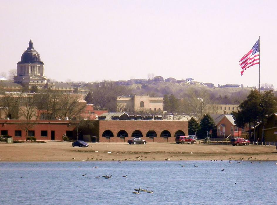


Map and nearest places
| Longitude | Latitude |
|---|---|
| 44.367966 | -100.336378 |
| 44°22'0"N | 100°20'0"W |
| Nearest places | ||
|---|---|---|
| Fort Pierre | 3.3km | |
| Pierre Regional Airport | 4.3km | |
| Harrold Municipal Airport | 50.1km | |
| Harrold | 50.4km | |
| Highmore | 73.0km | |
| Highmore Municipal Airport | 73.3km | |
| Gettysburg Municipal Airport | 75.2km | |
| Gettysburg | 77.7km | |
| Philip Airport | 106.7km | |
| Miller | 108.5km | |
| Kadoka Municipal Airport | 110.1km | |
| Kadoka | 111.0km | |
| John Paul II International Airport | 8,025.9km | |
| Sir Gaëtan Duval Airport | 16,890.3km | |
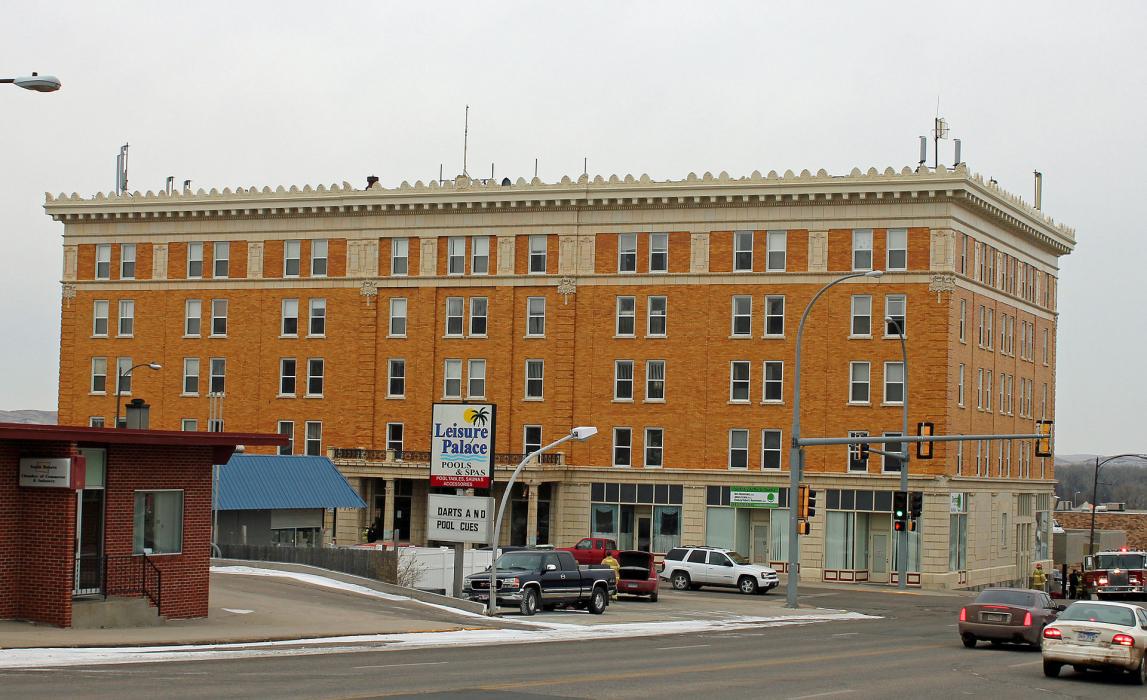
Accomodation
Restaurants
Museums
Airports
Weblinks
Comments
You need to log in to add comment