


Map and nearest places
| Longitude | Latitude |
|---|---|
| 17.6452777777778 | -63.2205555555556 |
| 17°38'0"N | 63°13'0"W |
| Nearest places | ||
|---|---|---|
| Saba Island | 1.9km | |
| F.D. Roosevelt Airport | 30.5km | |
 | Saint Eustatius | 32.4km |
| Princess Juliana International Airport | 45.5km | |
| Gustavia St Barth Island | 48.4km | |
| St Barthelemy Airport | 49.2km | |
| Marigot - Saint Martin Island | 49.7km | |
 | Saint Maarten | 50.2km |
| Grand Case Airport | 53.8km | |
| Basseterre - St Kitts Island | 64.4km | |
| Anguilla Wallblake Airport | 64.6km | |
| Robert L. Bradshaw International Airport | 64.9km | |
| John Paul II International Airport | 8,019.9km | |
| Karratha Airport | 19,674.1km | |
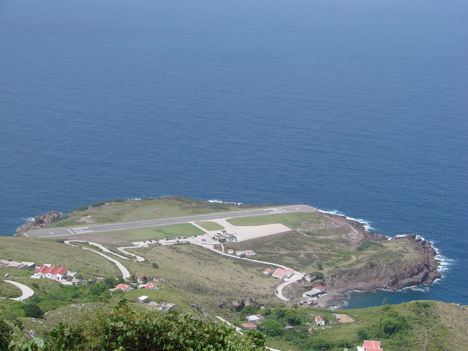
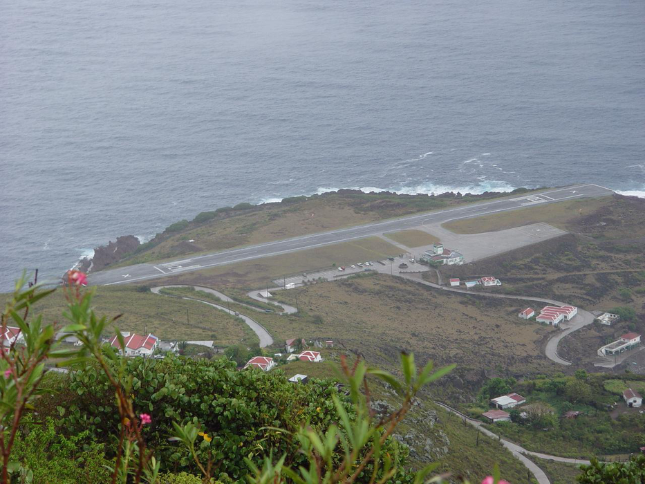
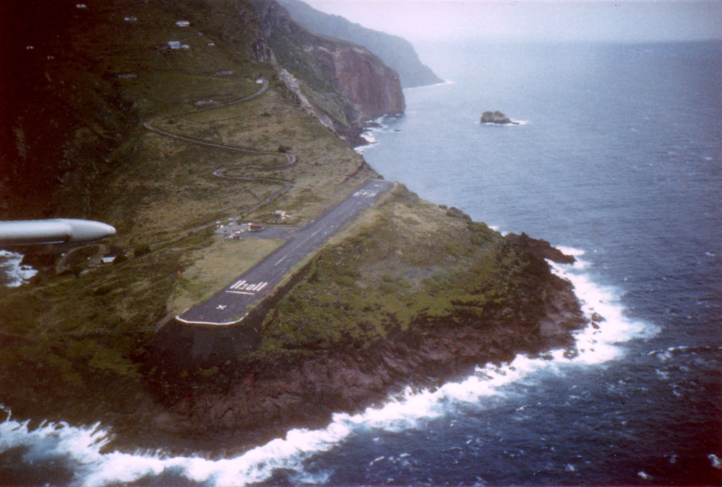
General informations
| Airport type | Local airport |
| ICAO | TNCS |
| IATA | SAB |
| Elevation | 60 ft / 18 m MSL |
| World Pax Ranking 2021 | #1804(+41) |
| World Pax Ranking 2020 | #1845(+97) |
| World Pax Ranking 2019 | #1942(+65) |
| World Pax Ranking 2018 | #2007(-49) |
| World Pax Ranking 2017 | #1958(+10) |
| World Pax Ranking 2016 | #1968(-9) |
| World Pax Ranking 2015 | #1959(+32) |
| World Pax Ranking 2014 | #1991(-39) |
| World Pax Ranking 2013 | #1952(-43) |
| World Pax Ranking 2012 | #1909 |
| Year | Pax |
|---|---|
| 2021 | 15260 |
| 2020 | 9040 |
| 2019 | 30670 |
| 2018 | 28260 |
| 2017 | 26570 |
| 2016 | 30480 |
| 2015 | 30290 |
| 2014 | 32420 |
| 2013 | 30920 |
| 2012 | 29160 |
Weblinks
Comments
You need to log in to add comment