


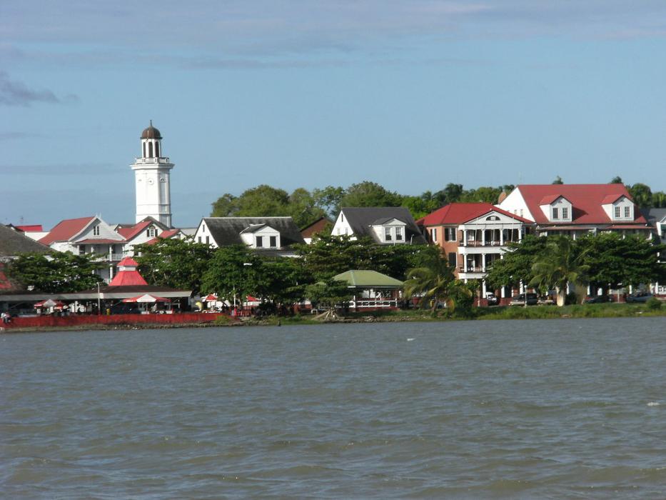
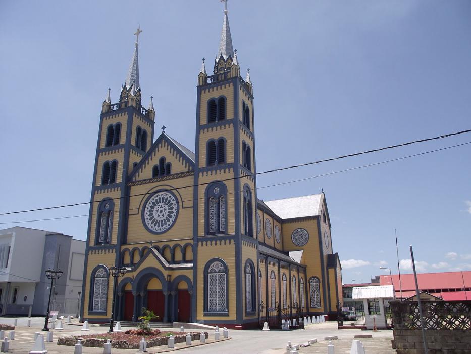
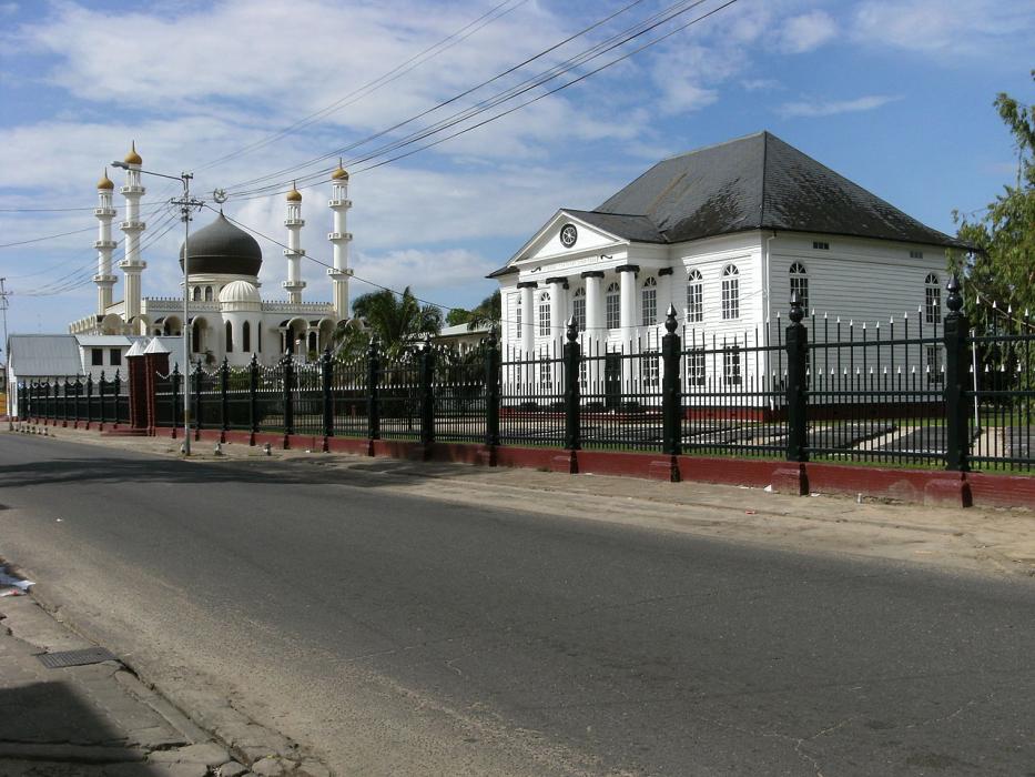


Map and nearest places
| Longitude | Latitude |
|---|---|
| 5.866667 | -55.166667 |
| 5°52'0"N | 55°10'0"W |
| Nearest places | ||
|---|---|---|
| Zorg en Hoop Airport | 6.7km | |
| Lelydorp | 19.9km | |
| Johan Adolf Pengel International Airport | 46.1km | |
| Moengo | 89.3km | |
| Moengo Airstrip | 89.5km | |
| Albina Airstrip | 129.7km | |
| Albina | 130.1km | |
| Saint-Laurent-du-Maroni | 132.1km | |
 | Saint-Laurent-du-Maroni | 132.1km |
| Nieuw Nickerie | 201.1km | |
| Majoor Henry Fernandes Airport | 207.4km | |
| Sinnamary | 250.2km | |
| John Paul II International Airport | 8,436.3km | |
| Alor Island Airport | 19,761.8km | |
Accomodation

Restaurants
Museums
Breweries
Airports
Weblinks
Comments
You need to log in to add comment