


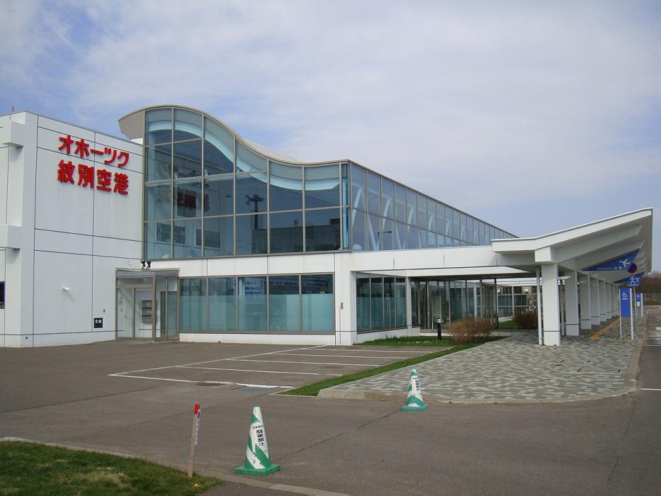
Gallery


Map and nearest places
| Longitude | Latitude |
|---|---|
| 44.304166666666696 | 143.408055555556 |
| 44°18'0"N | 143°24'0"E |
| Nearest places | ||
|---|---|---|
| Monbetsu | 6.9km | |
| Memanbetsu | 74.7km | |
| Memenbetsu Airport | 76.6km | |
| Asahikawa | 102.5km | |
| Asahikawa Airport | 104.2km | |
| Nakashibetsu Airport | 148.2km | |
| Nakashibetsu | 150.4km | |
| Kushiro Airport | 154.0km | |
| Obihiro | 155.2km | |
| Kushiro | 166.5km | |
| Tokachi-Obihiro Airport | 175.3km | |
| Wakkanai Airport | 176.1km | |
| John Paul II International Airport | 8,190.5km | |
| Port Stanley Airport | 18,198.2km | |
General informations
| Airport type | Regional airport |
| ICAO | RJEB |
| IATA | MEB |
| Elevation | 80 ft / 24 m MSL |
| World Pax Ranking 2023 | #1649(+66) |
| World Pax Ranking 2022 | #1715 |
| World Pax Ranking 2020 | #1676(+138) |
| World Pax Ranking 2019 | #1814 |
| World Pax Ranking 2017 | #1769 |
| World Pax Ranking 2015 | #1772(+48) |
| World Pax Ranking 2014 | #1820 |
| Year | Pax |
|---|---|
| 2024 | 71114 |
| 2023 | 66428 |
| 2022 | 51335 |
| 2020 | 34633 |
| 2019 | 77290 |
| 2017 | 75190 |
| 2015 | 71802 |
| 2014 | 65957 |
Weblinks
Comments
You need to log in to add comment