


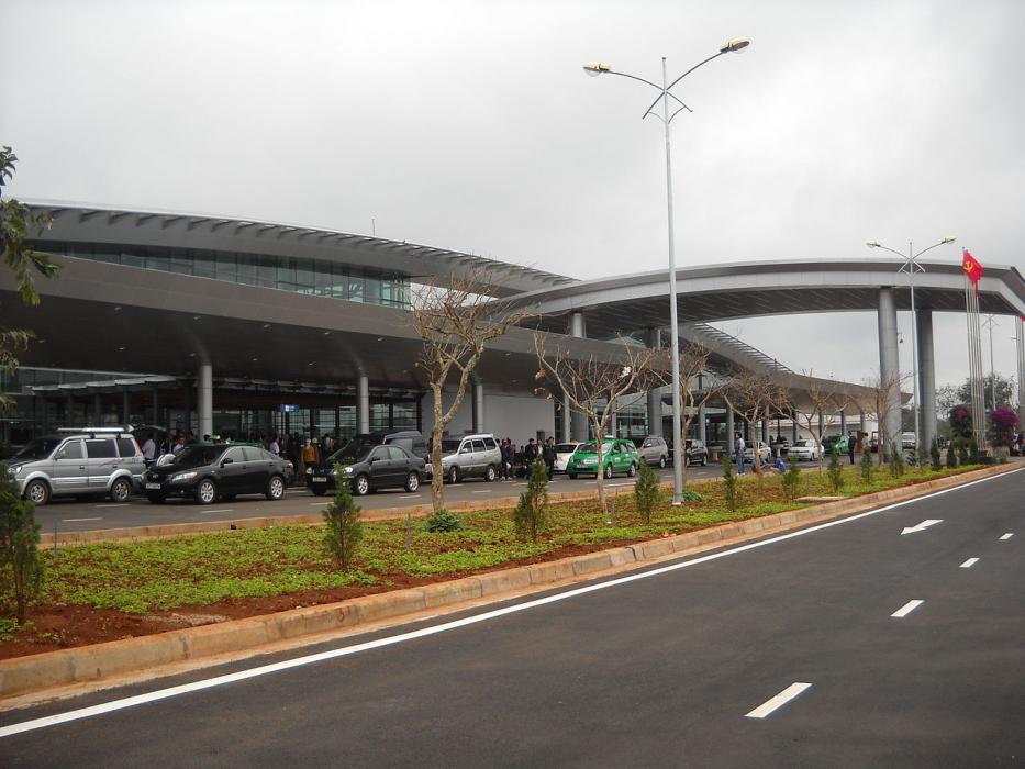
Gallery


Map and nearest places
| Longitude | Latitude |
|---|---|
| 12.6680555555556 | 108.12 |
| 12°40'0"N | 108°7'0"E |
| Nearest places | ||
|---|---|---|
| Buon Ma Thuot | 8.3km | |
| Dalat | 87.9km | |
| Lien Khuong Airport | 105.7km | |
| Tuy Hoa | 138.2km | |
| Tuy Hoa Airport | 138.2km | |
| Cam Ranh | 138.7km | |
| Cam Ranh Airport | 140.8km | |
| Pleiku | 146.8km | |
| Pleiku Airport | 149.0km | |
| Qui Nhon | 171.6km | |
| Phu Cat Airport | 174.5km | |
| Stung Treng Airport | 247.4km | |
| John Paul II International Airport | 8,813.2km | |
| Alejandro Velasco Astete International Airport | 19,918.4km | |
General informations
| Airport type | Regional Airport |
| ICAO | VVBM |
| IATA | BMV |
| Elevation | 1,729 ft / 527 m MSL |
| World Pax Ranking 2021 | #789(-271) |
| World Pax Ranking 2020 | #518(+330) |
| World Pax Ranking 2019 | #848(+28) |
| World Pax Ranking 2018 | #876(-44) |
| World Pax Ranking 2017 | #832(-138) |
| World Pax Ranking 2016 | #694(+120) |
| World Pax Ranking 2015 | #814(+76) |
| World Pax Ranking 2014 | #890(+72) |
| World Pax Ranking 2013 | #962(+72) |
| World Pax Ranking 2012 | #1034 |
| Year | Pax |
|---|---|
| 2021 | 591077 |
| 2020 | 988400 |
| 2019 | 1003419 |
| 2018 | 909907 |
| 2017 | 897713 |
| 2016 | 1220000 |
| 2015 | 830000 |
| 2014 | 695147 |
| 2013 | 535084 |
| 2012 | 410724 |
| 2006 | 97785 |
| 2005 | 81835 |
| 2004 | 65406 |
| 2003 | 37724 |
Weblinks
Comments
You need to log in to add comment