


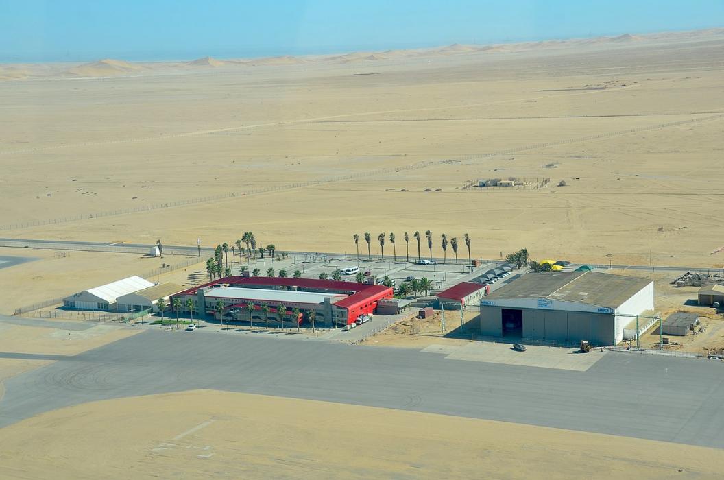
Gallery


Map and nearest places
| Longitude | Latitude |
|---|---|
| -22.9797222222222 | 14.6452777777778 |
| 22°58'0"S | 14°38'0"E |
| Nearest places | ||
|---|---|---|
 | Walvis Bay | 14.3km |
 | Swakopmund | 34.9km |
| Swakopmund Airport | 36.6km | |
| Arandis Airport | 67.0km | |
| Arandis | 70.8km | |
 | Henties Bay | 102.8km |
| Omaruru | 217.1km | |
| Windhoek Eros Airport | 252.9km | |
 | Windhoek | 254.1km |
| Hosea Kutako International Airport | 294.1km | |
| Luderitz Airport | 416.7km | |
| Gobabis Airport | 447.1km | |
| John Paul II International Airport | 8,139.4km | |
| Port Allen Airport | 19,411.9km | |
General informations
| Airport type | Regional Airport |
| ICAO | FYWB |
| IATA | WVB |
| Elevation | 299 ft / 91 m MSL |
| World Pax Ranking 2021 | #1642(-20) |
| World Pax Ranking 2020 | #1622(-10) |
| World Pax Ranking 2019 | #1612(+47) |
| World Pax Ranking 2018 | #1659(-54) |
| World Pax Ranking 2017 | #1605(+7) |
| World Pax Ranking 2016 | #1612(+17) |
| World Pax Ranking 2015 | #1629(+86) |
| World Pax Ranking 2014 | #1715(-47) |
| World Pax Ranking 2013 | #1668(-55) |
| World Pax Ranking 2012 | #1613(-63) |
| World Pax Ranking 2011 | #1550(-40) |
| World Pax Ranking 2010 | #1510(-5) |
| Year | Pax |
|---|---|
| 2021 | 38221 |
| 2020 | 31222 |
| 2019 | 124122 |
| 2018 | 119141 |
| 2017 | 119664 |
| 2016 | 121538 |
| 2015 | 107163 |
| 2014 | 84854 |
| 2013 | 88383 |
| 2012 | 89707 |
| 2011 | 85089 |
| 2010 | 71865 |
| 2009 | 74569 |
| 2008 | 74009 |
| 2007 | 67825 |
| 2006 | 63555 |
| 2005 | 58207 |
| 2004 | 59309 |
| 2003 | 58611 |
| 2002 | 60984 |
| 2001 | 82529 |
| 2000 | 54702 |
| 1999 | 54462 |
Weblinks
Comments
You need to log in to add comment