


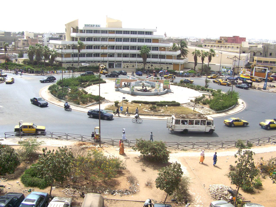
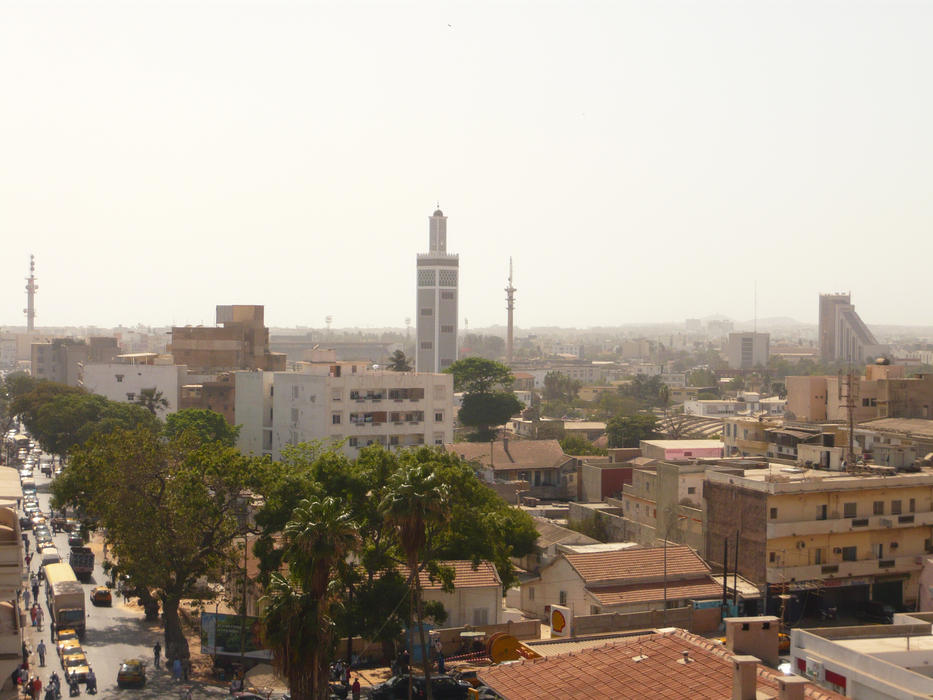


Map and nearest places
| Longitude | Latitude |
|---|---|
| 14.692778 | -17.446667 |
| 14°41'0"N | 17°26'0"W |
| Nearest places | ||
|---|---|---|
| Dakar-Yoff-Leopold Sedar Senghor International Airport | 7.0km | |
| Blaise Diagne International Airport | 40.9km | |
| Serekunda | 163.4km | |
 | Banjul | 166.7km |
| Banjul International Airport | 173.4km | |
| Saint Luis | 180.3km | |
| Saint Louis Airport | 184.2km | |
| Cap Skirring Airport | 264.9km | |
| Ziguinchor | 267.0km | |
| Ziguinchor Airport | 268.9km | |
| Cap Skiring | 272.4km | |
| Kolda | 336.4km | |
| John Paul II International Airport | 5,166.9km | |
| Santa Ana Airport | 19,587.7km | |
Accomodation
Restaurants
Airports
Weblinks
Comments
You need to log in to add comment