


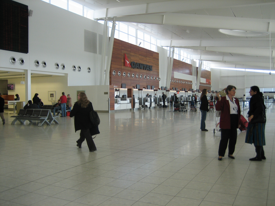
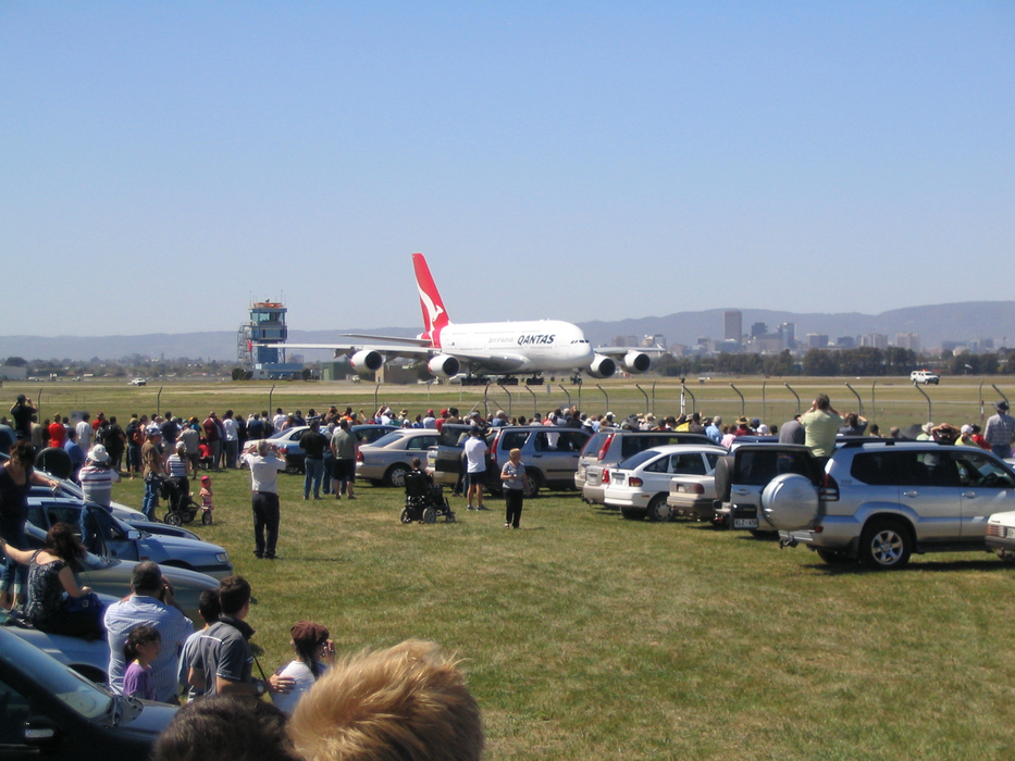
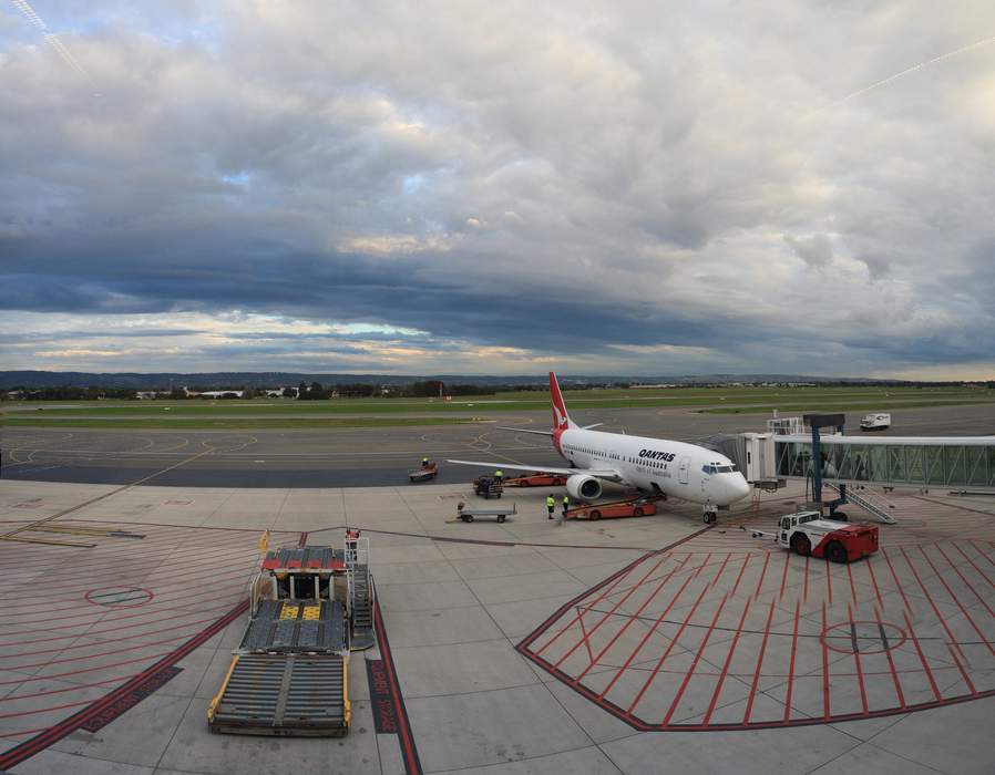
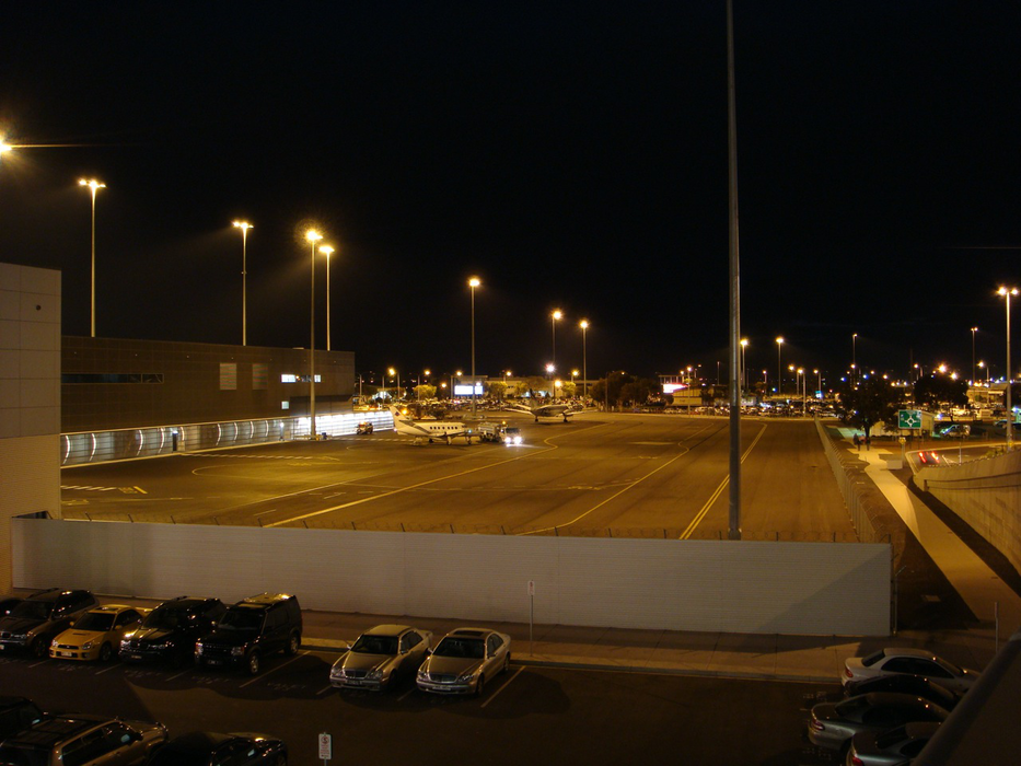
Gallery


Map and nearest places
| Longitude | Latitude |
|---|---|
| -34.945 | 138.530555555556 |
| 34°56'0"S | 138°31'0"E |
| Nearest places | ||
|---|---|---|
 | Adelaide | 7.1km |
| Parafield Airport | 19.3km | |
| Hahndorf | 27.3km | |
| McLaren Vale | 30.6km | |
| Lobethal | 31.6km | |
| Mount Barker | 32.1km | |
| Woodside | 32.1km | |
| Kingscote Airport | 125.3km | |
| Whyalla Airport | 229.7km | |
| Port Lincoln Airport | 242.0km | |
| Port Augusta Airport | 281.4km | |
| Mildura Airport | 335.0km | |
| John Paul II International Airport | 14,879.0km | |
| Flores Airport | 18,972.1km | |
General informations
| Airport type | Major airport |
| ICAO | YPAD |
| IATA | ADL |
| Elevation | 20 ft / 6 m MSL |
| World Pax Ranking 2023 | #251(-2) |
| World Pax Ranking 2022 | #249(+65) |
| World Pax Ranking 2021 | #314(-42) |
| World Pax Ranking 2020 | #272(-20) |
| World Pax Ranking 2019 | #252(-7) |
| World Pax Ranking 2018 | #245(-9) |
| World Pax Ranking 2017 | #236(-14) |
| World Pax Ranking 2016 | #222(-1) |
| World Pax Ranking 2015 | #221(-7) |
| World Pax Ranking 2014 | #214(-6) |
| World Pax Ranking 2013 | #208(+7) |
| World Pax Ranking 2012 | #215(-8) |
| World Pax Ranking 2011 | #207(-8) |
| World Pax Ranking 2010 | #199(-15) |
| Year | Pax |
|---|---|
| 2025 | 8731244 |
| 2024 | 8537830 |
| 2023 | 7997484 |
| 2022 | 6416836 |
| 2021 | 3066863 |
| 2020 | 2589413 |
| 2019 | 8516171 |
| 2018 | 8346302 |
| 2017 | 8111934 |
| 2016 | 7920185 |
| 2015 | 7671143 |
| 2014 | 7699159 |
| 2013 | 7554820 |
| 2012 | 7066892 |
| 2011 | 7021407 |
| 2010 | 7015509 |
| 2009 | 6841747 |
| 2008 | 6750048 |
| 2007 | 6498169 |
| 2006 | 6080258 |
| 2005 | 5638440 |
| 2004 | 5182270 |
| 2003 | 4503775 |
| 2002 | 3977693 |
| 2001 | 4119069 |
| 2000 | 4049235 |
| 1999 | 3757679 |
| 1998 | 3945392 |
| 1997 | 3767962 |
| 1996 | 3666752 |
| 1995 | 3446339 |
Weblinks
Comments
You need to log in to add comment