


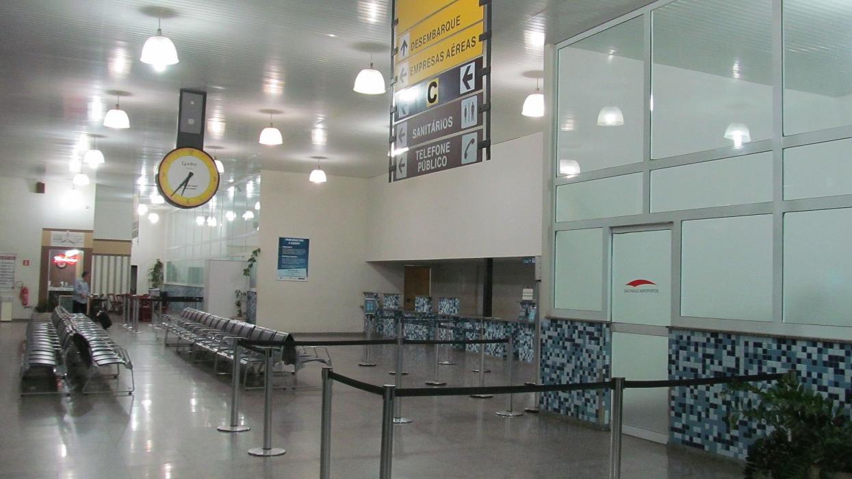
Gallery


Map and nearest places
| Longitude | Latitude |
|---|---|
| -21.1413888888889 | -50.424722222222194 |
| 21°8'0"S | 50°25'0"W |
| Nearest places | ||
|---|---|---|
 | Aracatuba | 7.6km |
 | Penapolis | 47.5km |
| Penapolis Airport | 50.3km | |
| Votuporanga Airport | 87.1km | |
| Lins Airport | 92.4km | |
 | Lins | 92.5km |
 | Votuporanga | 93.2km |
| Andradina Airport | 102.2km | |
 | Andradina | 102.2km |
| Sao Jose do Rio Preto Airport | 111.7km | |
 | Sao Jose do Rio Preto | 114.3km |
| Ernesto Pochler Airport | 125.1km | |
| John Paul II International Airport | 10,479.1km | |
| Minami Daito Jima Airport | 19,464.3km | |
General informations
| Airport type | Regional Airport |
| ICAO | SBAU |
| IATA | ARU |
| Elevation | 1,361 ft / 415 m MSL |
| World Pax Ranking 2023 | #1351 |
| World Pax Ranking 2019 | #1645(+64) |
| World Pax Ranking 2018 | #1709(-47) |
| World Pax Ranking 2017 | #1662(-28) |
| World Pax Ranking 2016 | #1634(-10) |
| World Pax Ranking 2015 | #1624(-42) |
| World Pax Ranking 2014 | #1582(-118) |
| World Pax Ranking 2013 | #1464(-108) |
| World Pax Ranking 2012 | #1356(+68) |
| World Pax Ranking 2011 | #1424(+63) |
| World Pax Ranking 2010 | #1487(+92) |
| Year | Pax |
|---|---|
| 2023 | 93238 |
| 2019 | 107287 |
| 2018 | 101627 |
| 2017 | 95303 |
| 2016 | 112100 |
| 2015 | 108933 |
| 2014 | 128228 |
| 2013 | 164981 |
| 2012 | 190571 |
| 2011 | 123807 |
| 2010 | 78296 |
| 2009 | 56207 |
| 2008 | 74798 |
| 2007 | 78932 |
| 2006 | 31440 |
| 2005 | 37452 |
| 2004 | 33042 |
| 2003 | 33948 |
| 2002 | 48176 |
| 2001 | 59602 |
Weblinks
Comments
You need to log in to add comment