


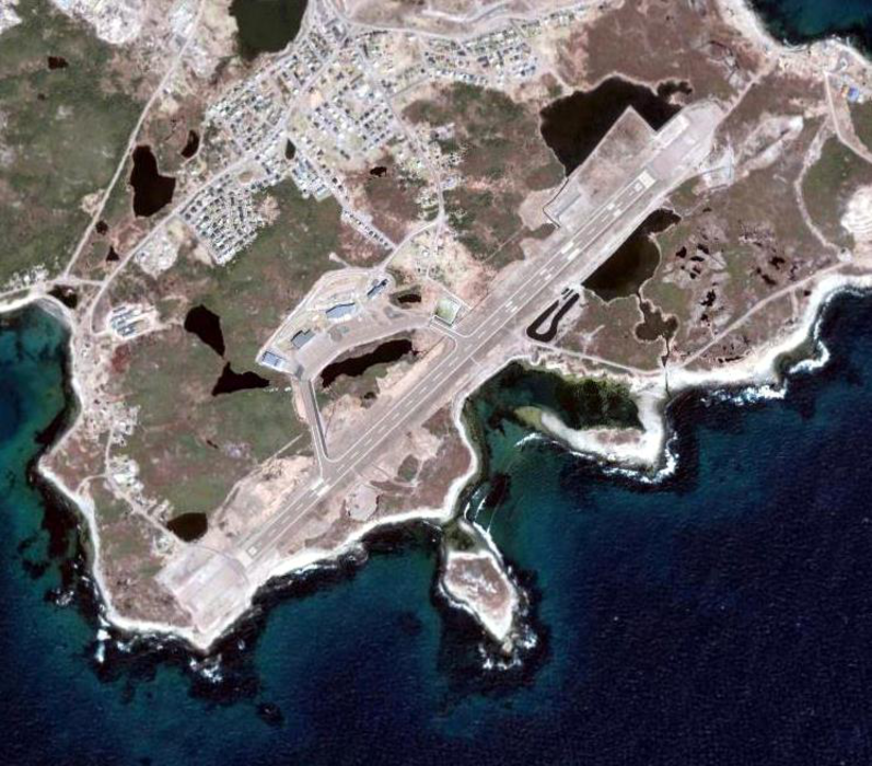


Map and nearest places
| Longitude | Latitude |
|---|---|
| 46.763055555555596 | -56.1741666666667 |
| 46°45'0"N | 56°10'0"W |
| Nearest places | ||
|---|---|---|
| St-Pierre | 2.4km | |
| Miquelon | 31.9km | |
| Miquelon Airport | 40.3km | |
| Marystown | 88.7km | |
| Clarenville | 227.1km | |
| Clarenville Airport | 234.8km | |
 | Brigus | 240.1km |
| Channel-Port aux Basques | 241.4km | |
| Harbour Grace Airport | 243.2km | |
| Bell Island Airport | 259.7km | |
| Exploits Valley (Botwood) Airport | 260.7km | |
| Stephenville Airport | 266.2km | |
| John Paul II International Airport | 5,369.5km | |
| Albany Airport | 18,607.8km | |
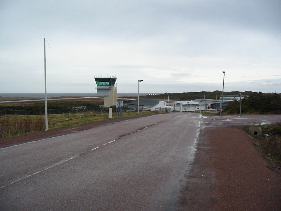
General informations
| Airport type | Regional airport |
| ICAO | LFVP |
| IATA | FSP |
| Elevation | 27 ft / 8 m MS |
| World Pax Ranking 2017 | #1897(+38) |
| World Pax Ranking 2016 | #1935(-20) |
| World Pax Ranking 2015 | #1915(+46) |
| World Pax Ranking 2014 | #1961(-40) |
| World Pax Ranking 2013 | #1921(+10) |
| World Pax Ranking 2012 | #1931(-93) |
| World Pax Ranking 2011 | #1838(-86) |
| World Pax Ranking 2010 | #1752(+14) |
| Year | Pax |
|---|---|
| 2017 | 36738 |
| 2016 | 35521 |
| 2015 | 36260 |
| 2014 | 35951 |
| 2013 | 34422 |
| 2012 | 26049 |
| 2011 | 26632 |
| 2010 | 26948 |
| 2009 | 25658 |
| 2008 | 25129 |
| 2007 | 29678 |
| 2006 | 29142 |
| 2005 | 28047 |
| 2004 | 32313 |
| 2003 | 33294 |
| 2002 | 31481 |
| 2001 | 34107 |
| 2000 | 32293 |
| 1999 | 33613 |
| 1998 | 33360 |
| 1997 | 30341 |
| 1996 | 30480 |
| 1995 | 30128 |
Weblinks
Comments
You need to log in to add comment