


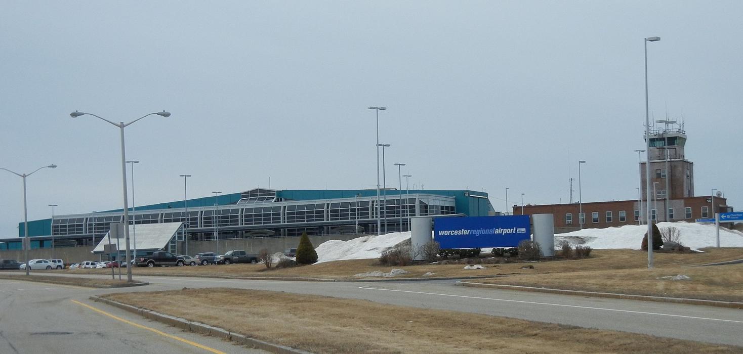
Gallery


Map and nearest places
| Longitude | Latitude |
|---|---|
| 42.267222222222195 | -71.8758333333333 |
| 42°16'0"N | 71°52'0"W |
| Nearest places | ||
|---|---|---|
 | Worcester | 6.2km |
| Southbridge Municipal Airport | 22.8km | |
| Southbridge | 25.0km | |
| Hardwick | 28.2km | |
 | Bolton | 28.7km |
| Fitchburg Municipal Airport | 33.3km | |
| Gardner Municipal Airport | 33.5km | |
 | Harvard | 35.3km |
| Fitchburg | 35.7km | |
| North Central State Airport | 49.9km | |
| Laurence G Hanscom Field Airport | 53.2km | |
| Westover Metropolitan Airport | 54.9km | |
| John Paul II International Airport | 6,656.5km | |
| Busselton Regional Airport | 18,869.3km | |
General informations
| Airport type | Local airport |
| ICAO | KORH |
| IATA | ORH |
| FAA | ORH |
| Elevation | 1,009 ft / 308 m MSL |
| World Pax Ranking 2023 | #1529(-112) |
| World Pax Ranking 2022 | #1417(+394) |
| World Pax Ranking 2021 | #1811(-183) |
| World Pax Ranking 2020 | #1628(-112) |
| World Pax Ranking 2019 | #1516(+177) |
| World Pax Ranking 2018 | #1693(-38) |
| World Pax Ranking 2017 | #1655(-6) |
| World Pax Ranking 2016 | #1649(-26) |
| World Pax Ranking 2015 | #1623(+20) |
| World Pax Ranking 2014 | #1643 |
| Year | Pax |
|---|---|
| 2024 | 126000 |
| 2023 | 109000 |
| 2022 | 158000 |
| 2021 | 27000 |
| 2020 | 41000 |
| 2019 | 192000 |
| 2018 | 115600 |
| 2017 | 108000 |
| 2016 | 115000 |
| 2015 | 118000 |
| 2014 | 115000 |
| 2007 | 0 |
Weblinks
Comments
You need to log in to add comment