


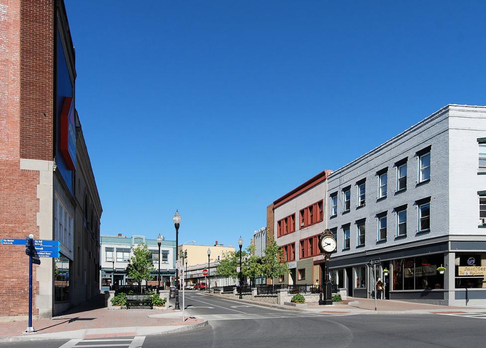
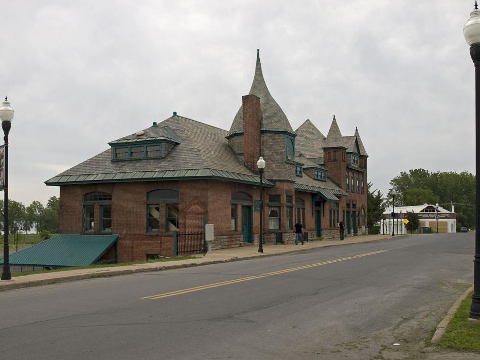
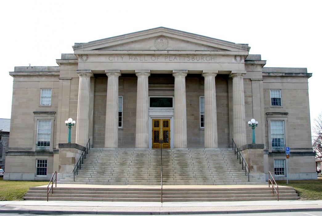


Map and nearest places
| Longitude | Latitude |
|---|---|
| 44.695278 | -73.458333 |
| 44°41'0"N | 73°27'0"W |
| Nearest places | ||
|---|---|---|
| Plattsburgh International Airport | 5.0km | |
| Clinton County Airport | 5.3km | |
| South Hero | 12.9km | |
| Burlington | 31.2km | |
| St Albans | 31.9km | |
| Burlington International Airport | 34.7km | |
| Swaton | 35.8km | |
| Shelburne | 38.7km | |
| Franklin County State Airport | 39.4km | |
| Highgate | 42.5km | |
| Lake Placid Airport | 62.4km | |
| Saint-Jean Airport | 68.1km | |
| John Paul II International Airport | 6,571.2km | |
| Busselton Regional Airport | 18,575.2km | |
Accomodation
Restaurants
Wineries
Spirits Distillery
Breweries
Airports
Weblinks
Comments
You need to log in to add comment