


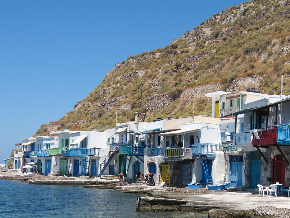
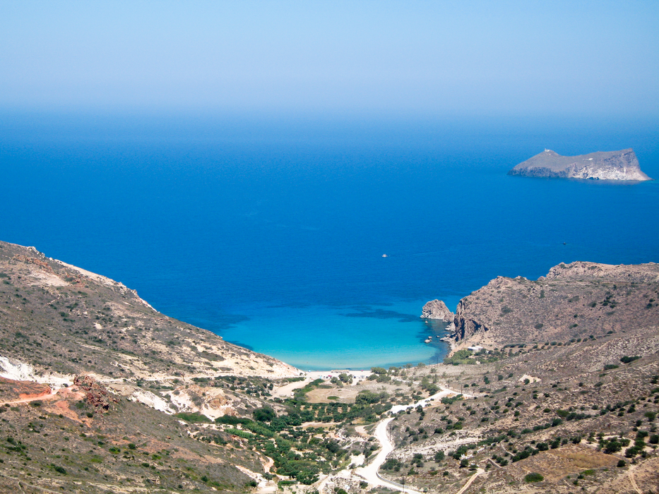
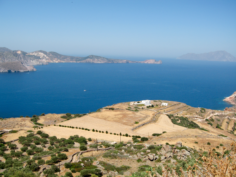
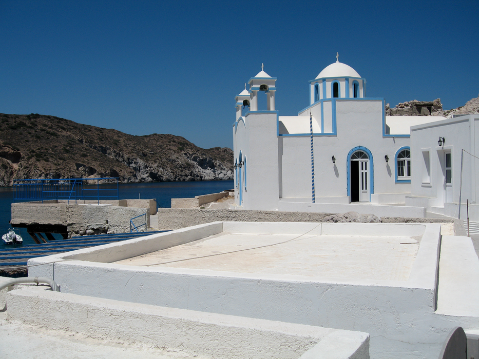
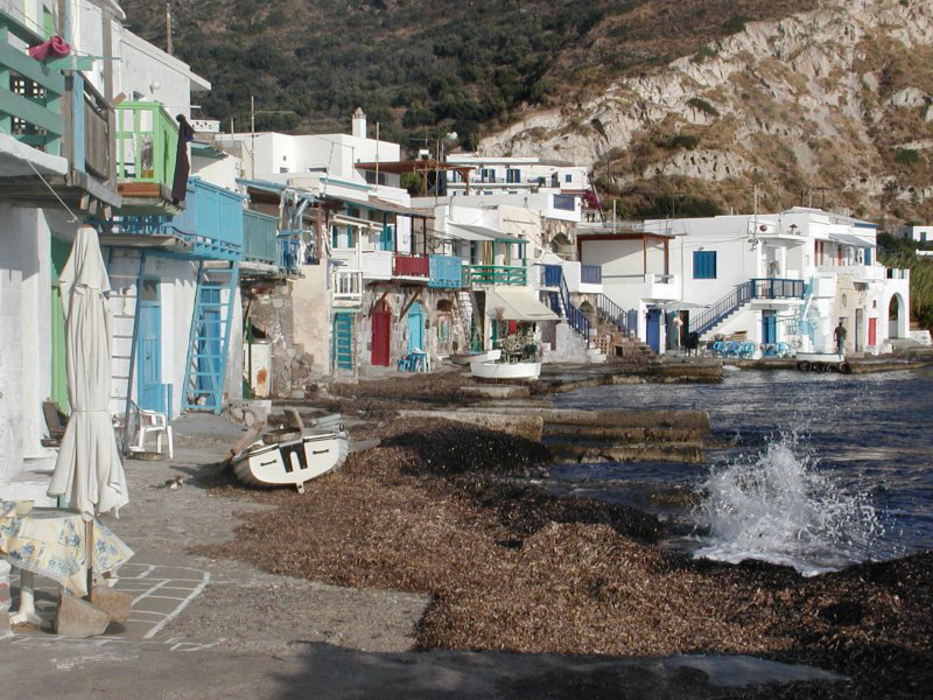
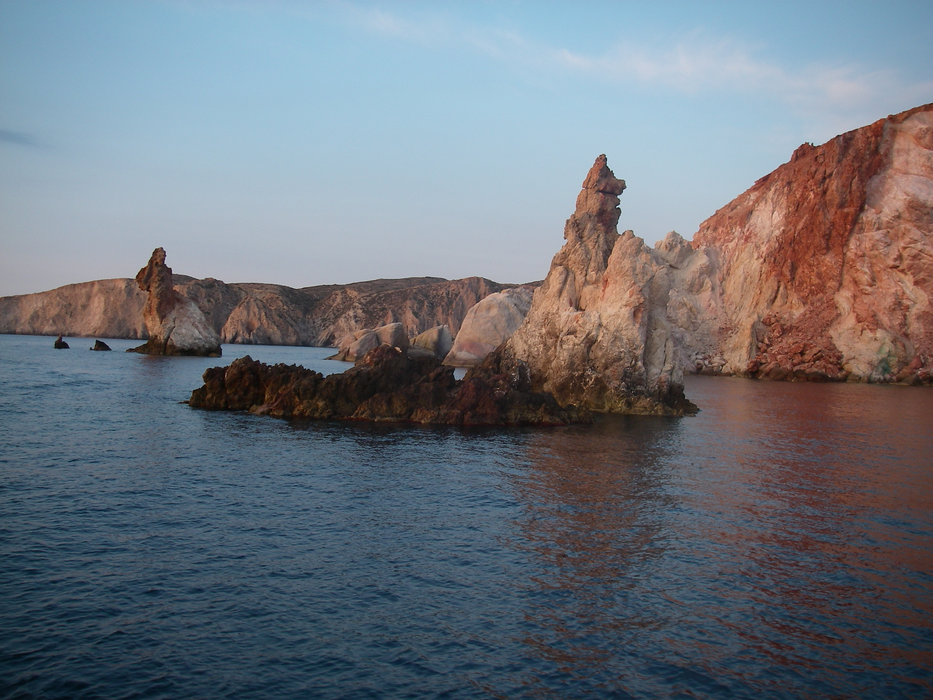
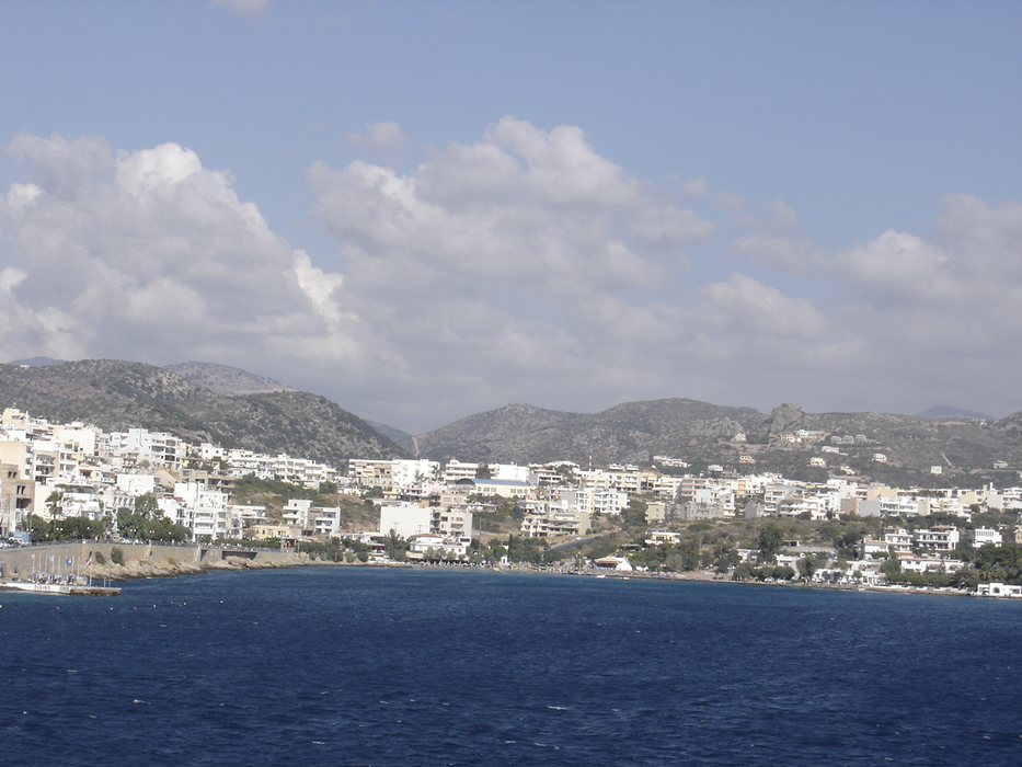
Gallery


Map and nearest places
| Longitude | Latitude |
|---|---|
| 36.6791666666667 | 24.418611111111098 |
| 36°40'0"N | 24°25'0"E |
| Nearest places | ||
|---|---|---|
| Milos Island National Airport | 5.6km | |
| Kimolos Island | 17.8km | |
| Folegandros Island | 43.5km | |
| Serifos Island | 54.0km | |
| Antiparos Island | 65.3km | |
| Paros Airport | 73.2km | |
| Kythnos Island | 78.3km | |
| Paros | 79.0km | |
| Syros Airport | 95.2km | |
| Naxos Airport | 95.5km | |
| Santorini National Airport | 99.7km | |
| Mykonos Island National Airport | 117.8km | |
| John Paul II International Airport | 1,535.4km | |
| Tubuai - Mataura Airport | 18,424.9km | |
Accomodation
Wineries
Airports
Weblinks
Comments
You need to log in to add comment