


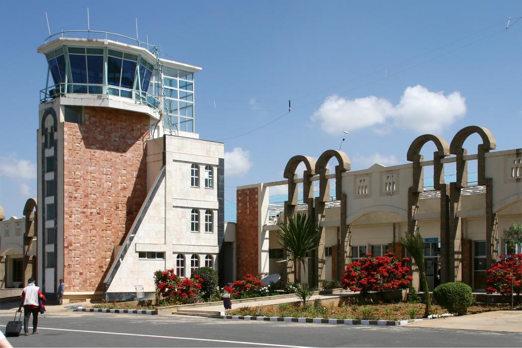
Gallery


Map and nearest places
| Longitude | Latitude |
|---|---|
| 14.146666666666698 | 38.7727777777778 |
| 14°8'0"N | 38°46'0"E |
| Nearest places | ||
|---|---|---|
| Axum | 5.4km | |
| Mekele | 105.1km | |
| Alula Aba Nega Airport | 111.6km | |
| Asmara International Airport | 128.2km | |
| Asmara | 133.1km | |
| Massawa | 178.2km | |
| Massawa International Airport | 182.4km | |
| Gondar | 222.6km | |
| Gondar Airport | 231.8km | |
| Lalibella | 237.0km | |
| Lalibela Airport | 242.5km | |
| Debre Tabor Airport | 256.4km | |
| John Paul II International Airport | 4,349.6km | |
| Napuka Airport | 20,009.6km | |
General informations
| Airport type | Local airport |
| ICAO | HAAX |
| IATA | AXU |
| Elevation | 6,959 ft / 2,121 m MSL |
| Year | Pax |
|---|---|
| 2005 | 42280 |
Weblinks
Comments
You need to log in to add comment