


Gallery


Map and nearest places
| Longitude | Latitude |
|---|---|
| -0.906944444444444 | -78.6158333333333 |
| 0°54'0"S | 78°36'0"W |
| Nearest places | ||
|---|---|---|
 | Latacunga | 2.8km |
| Chachoan Airport | 34.2km | |
 | Ambato | 37.2km |
 | Puyo | 70.6km |
| Quito | 73.1km | |
| Chimborazo Airport | 83.1km | |
| Riobamba | 84.5km | |
| Mariscal Sucre Airport | 86.3km | |
| Rio Amazonas Airport | 90.6km | |
| Santo Domingo Los Colorados | 94.1km | |
| Santo Domingo Los Colorados Airport | 99.0km | |
| Atahualpa Airport | 148.4km | |
| John Paul II International Airport | 10,683.4km | |
| Sultan Syarif Qasim II International Airport | 19,965.0km | |
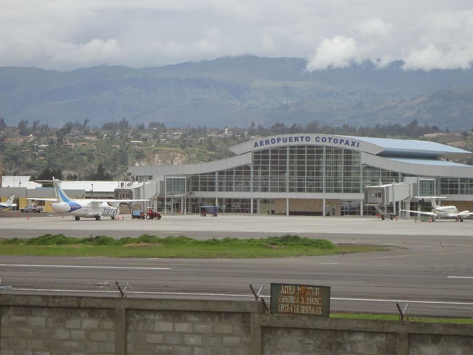
General informations
| Airport type | Local Airport |
| ICAO | SELT |
| IATA | LTX |
| Elevation | 9,205 ft / 2,806 m MSL |
| World Pax Ranking 2013 | #1938 |
| Year | Pax |
|---|---|
| 2013 | 32879 |
Weblinks
Comments
You need to log in to add comment