


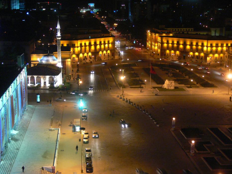
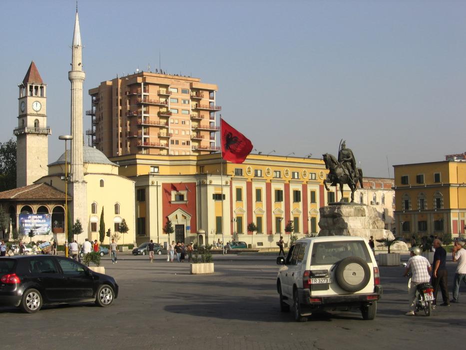
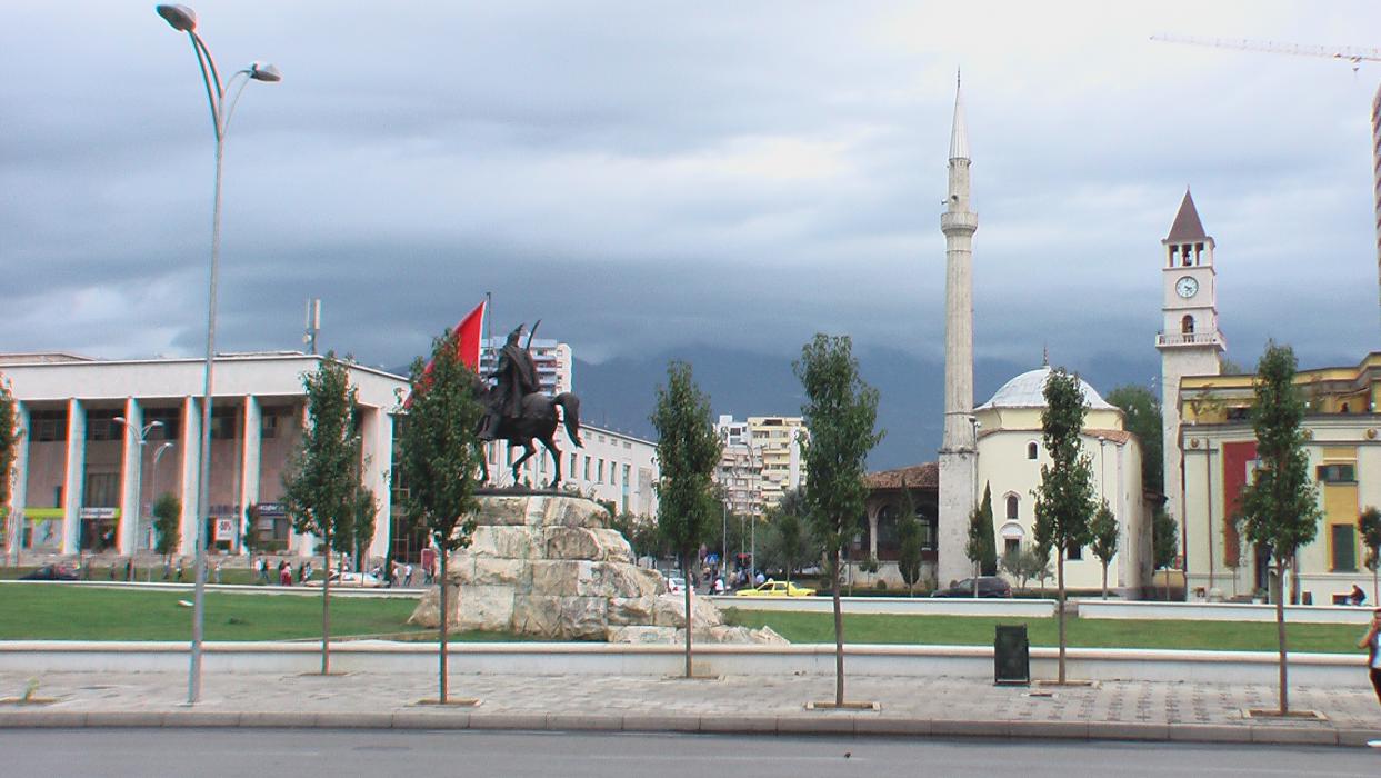
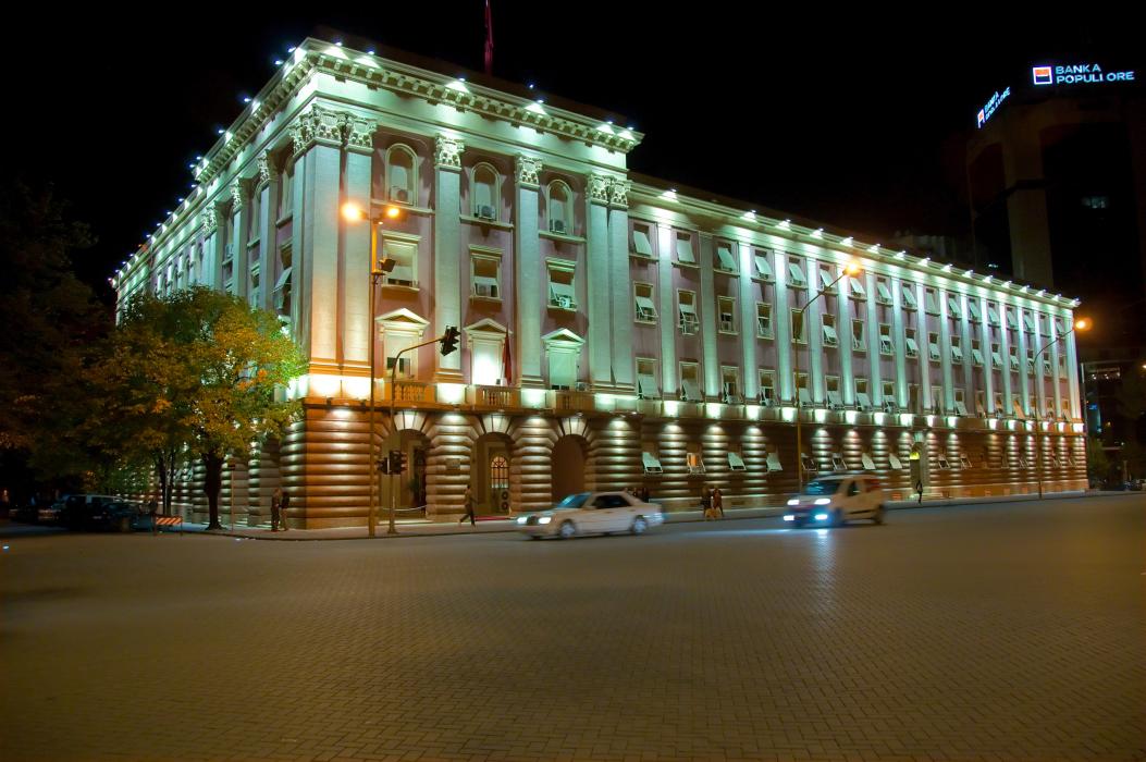
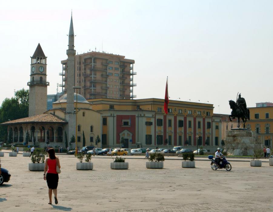
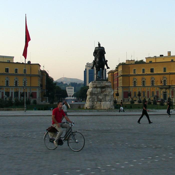
Gallery


Map and nearest places
| Longitude | Latitude |
|---|---|
| 41.3166666666667 | 19.816666666666702 |
| 41°19'0"N | 19°49'0"E |
| Nearest places | ||
|---|---|---|
| Tirana International Airport Nene Tereza | 13.5km | |
| Kruja | 20.4km | |
 | Durres | 30.6km |
 | Elbasan | 31.8km |
| Lezhe | 54.1km | |
| Berat | 69.5km | |
 | Fier | 70.4km |
| Ohrid Airport | 78.9km | |
| Kukes Airport | 94.0km | |
| Korce Airport | 107.7km | |
| Podgorica Airport | 125.0km | |
| Tivat Airport | 151.1km | |
| John Paul II International Airport | 974.2km | |
| Tuuta Airport | 18,656.1km | |
Accomodation

Restaurants
Airports

Weblinks
Comments
You need to log in to add comment