


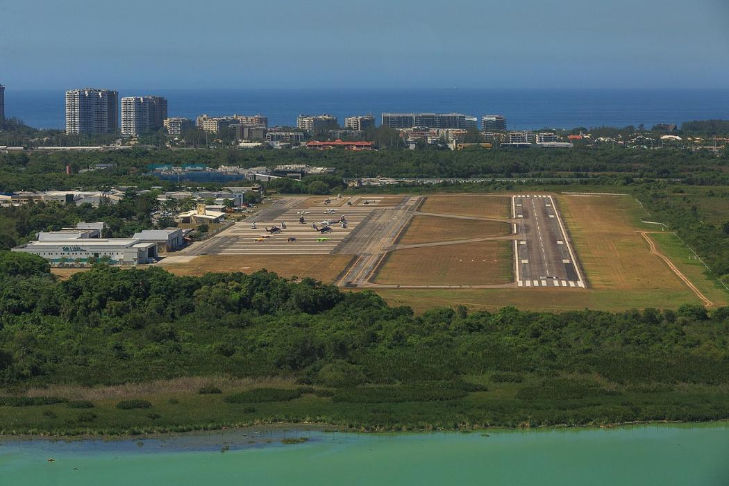
Gallery


Map and nearest places
| Longitude | Latitude |
|---|---|
| -22.9866666666667 | -43.370277777777794 |
| 22°59'0"S | 43°22'0"W |
| Nearest places | ||
|---|---|---|
 | Rio de Janeiro | 19.8km |
| Santos Dumont Airport | 22.9km | |
| Rio de Janeiro-Galeao International Airport | 23.6km | |
| Santa Cruz Airport | 36.2km | |
| Francisco de Assis Airport | 132.9km | |
| Cabo Frio International Airport | 133.2km | |
| Juiz de Fora | 136.2km | |
 | Cabo Frio | 138.9km |
| Zona da Mata Regional Airport | 165.1km | |
| Macae | 176.3km | |
 | Ubatuba | 180.8km |
 | Guaratingueta | 190.1km |
| John Paul II International Airport | 10,215.9km | |
| Iwo Jima AB | 19,497.9km | |
General informations
| Airport type | Regional Airport |
| ICAO | SBJR |
| IATA | RRJ |
| Elevation | 10 ft / 3 m MSL |
| World Pax Ranking 2022 | #1272(-38) |
| World Pax Ranking 2021 | #1234(-40) |
| World Pax Ranking 2020 | #1194(+312) |
| World Pax Ranking 2019 | #1506(-23) |
| World Pax Ranking 2018 | #1483 |
| World Pax Ranking 2016 | #1456(-57) |
| World Pax Ranking 2015 | #1399(+86) |
| World Pax Ranking 2014 | #1485(+25) |
| World Pax Ranking 2013 | #1510(-70) |
| World Pax Ranking 2012 | #1440(-94) |
| World Pax Ranking 2011 | #1346(-28) |
| World Pax Ranking 2010 | #1318(+50) |
| Year | Pax |
|---|---|
| 2022 | 191388 |
| 2021 | 167028 |
| 2020 | 151417 |
| 2019 | 171256 |
| 2018 | 197345 |
| 2016 | 189331 |
| 2015 | 200570 |
| 2014 | 171627 |
| 2013 | 145155 |
| 2012 | 154703 |
| 2011 | 159921 |
| 2010 | 137277 |
| 2009 | 114093 |
| 2008 | 80603 |
| 2007 | 81033 |
| 2006 | 69940 |
| 2005 | 68326 |
| 2004 | 43576 |
| 2003 | 55108 |
| 2002 | 37974 |
Weblinks
Comments
You need to log in to add comment