


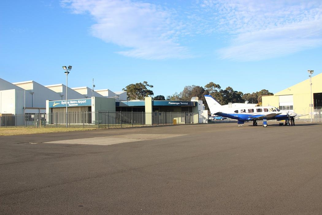
Gallery


Map and nearest places
| Longitude | Latitude |
|---|---|
| -33.924444444444404 | 150.98833333333297 |
| 33°55'0"S | 150°59'0"E |
| Nearest places | ||
|---|---|---|
| Bankstown | 4.4km | |
| Five Dock | 14.5km | |
| Kingsford Smith International Airport | 17.6km | |
 | Sydney | 21.2km |
| Camden | 30.6km | |
| Camden Airport | 30.6km | |
| Appin | 36.0km | |
| Picton | 45.9km | |
| Wollongong Airport | 73.1km | |
| Bathurst Airport | 136.3km | |
| Williamtown Airport | 148.1km | |
| Newcastle Airport | 148.6km | |
| John Paul II International Airport | 15,695.2km | |
| Santa Maria Airport | 19,529.5km | |
General informations
| Airport type | Regional airport |
| ICAO | YSBK |
| IATA | BWU |
| Elevation | 29 ft / 9 m MSL |
| Year | Pax |
|---|---|
| 2007 | 0 |
| 2006 | 0 |
| 2005 | 0 |
| 1996 | 0 |
| 1995 | 0 |
Weblinks
Comments
You need to log in to add comment