


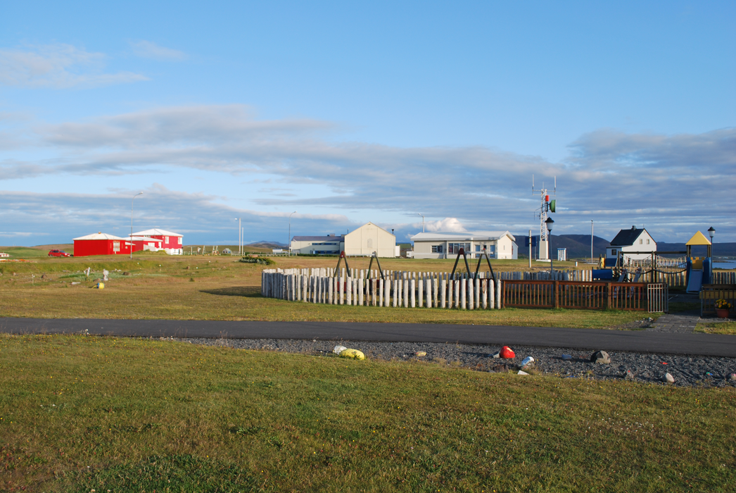
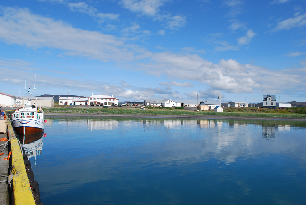
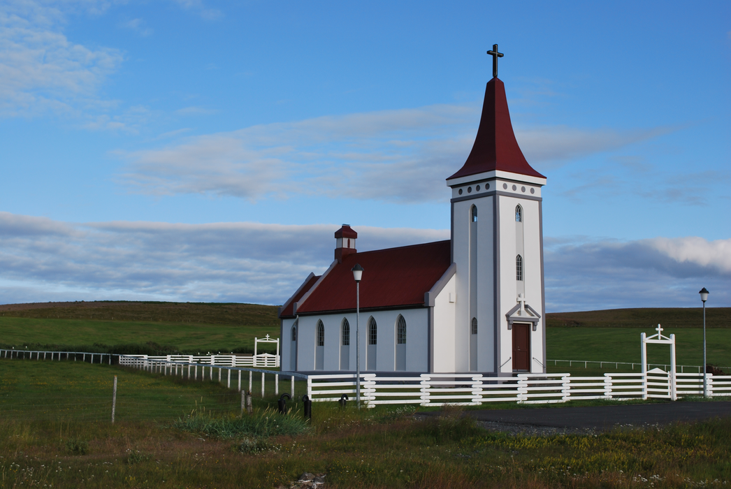


Map and nearest places
| Longitude | Latitude |
|---|---|
| 66.3 | -16.45 |
| 66°17'0"N | 16°26'0"W |
| Nearest places | ||
|---|---|---|
| Kopasker Airport | 1.4km | |
| Raufarhoifn Airport | 26.5km | |
| Raufarhofn | 28.4km | |
 | Husavik | 47.8km |
| Thorshofn Airport | 50.7km | |
| Thorshofn | 51.2km | |
| Husavik Airport | 58.5km | |
 | Grimsey | 73.4km |
| Reykjahlia Airport | 74.7km | |
| Grimsey Airport | 75.7km | |
| Myvtan | 81.7km | |
 | Vopnafjordur | 94.7km |
| John Paul II International Airport | 2,719.1km | |
| Stewart Island Airport | 17,841.3km | |
Airports
Weblinks
Comments
You need to log in to add comment