


Gallery


Map and nearest places
| Longitude | Latitude |
|---|---|
| 41.6913888888889 | -93.5663888888889 |
| 41°41'0"N | 93°33'0"W |
| Nearest places | ||
|---|---|---|
| Ankeny | 5.0km | |
| Des Moines | 12.1km | |
| Des Moines International Airport | 19.2km | |
| Ames Municipal Airport | 33.7km | |
| Nevada | 37.7km | |
| Ames | 38.4km | |
| Newton | 43.1km | |
| Newton Municipal Airport | 45.3km | |
| Boone Municipal Airport | 46.1km | |
| Perry | 47.2km | |
| Perry Municipal Airport | 51.5km | |
| Knoxville Municipal Airport | 57.7km | |
| John Paul II International Airport | 7,931.3km | |
| Busselton Regional Airport | 17,331.2km | |
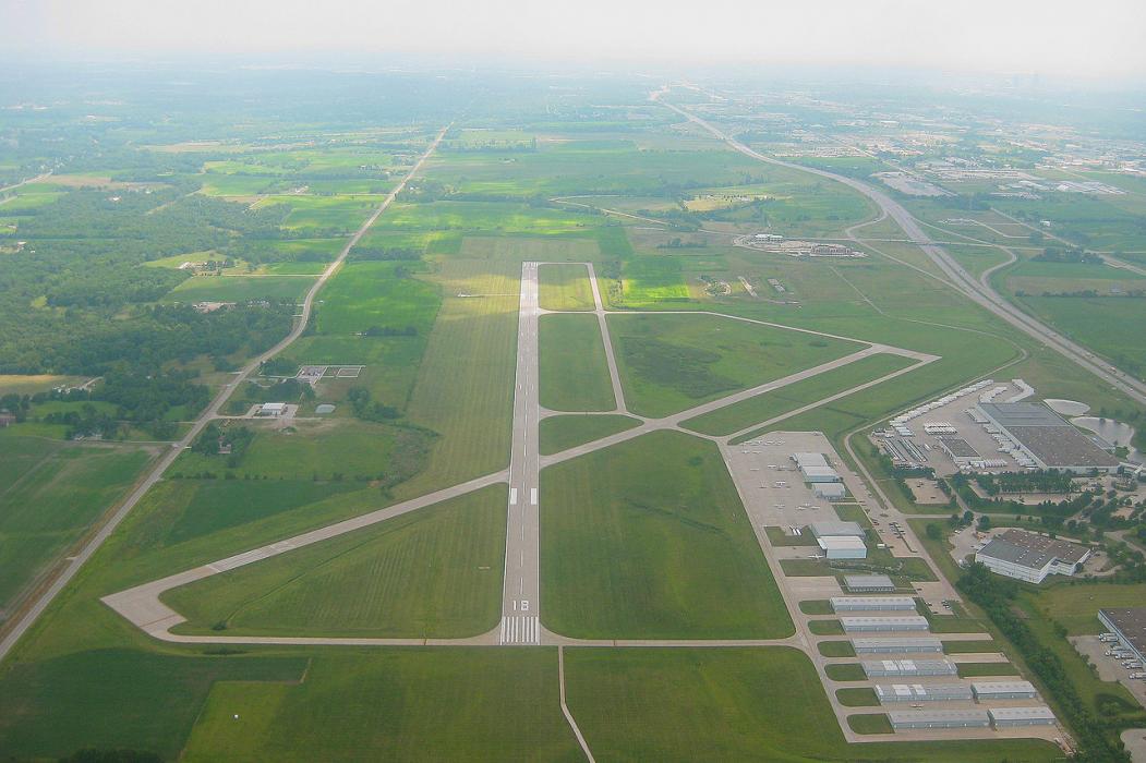
General informations
| Airport type | Local airport |
| ICAO | KIKV |
| FAA | IKV |
| Elevation | 910 ft / 277 m MSL |
Weblinks
Comments
You need to log in to add comment