


Map and nearest places
| Longitude | Latitude |
|---|---|
| -33.6925 | 115.395277777778 |
| 33°41'0"S | 115°23'0"E |
| Nearest places | ||
|---|---|---|
| Busselton | 6.7km | |
| Dunsborough | 28.6km | |
| Cowaramup | 31.7km | |
| Yallingup | 34.3km | |
| Wilyabrup | 35.1km | |
| Donnybrook | 41.5km | |
| Bunbury Airport | 43.6km | |
| Jandakot Airport | 183.2km | |
| Perth Airport | 202.0km | |
| Albany Airport | 261.7km | |
| Ravensthorpe Airport | 445.1km | |
| Geraldton Airport | 548.4km | |
| John Paul II International Airport | 13,180.1km | |
| L.F. Wade International Airport | 19,867.2km | |
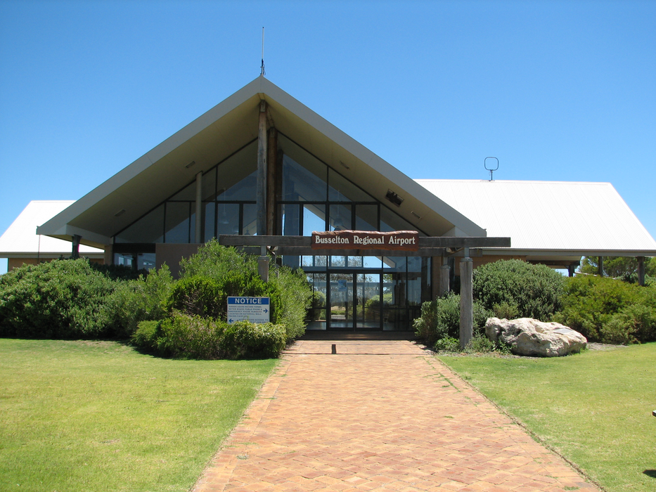
General informations
| Airport type | Local airport |
| ICAO | YBLN |
| IATA | BQB |
| Elevation | 55 ft / 17 m MSL |
| World Pax Ranking 2023 | #1700(+92) |
| World Pax Ranking 2022 | #1792 |
| World Pax Ranking 2014 | #2236(+29) |
| World Pax Ranking 2013 | #2265(+119) |
| World Pax Ranking 2012 | #2384(-84) |
| World Pax Ranking 2011 | #2300 |
| Year | Pax |
|---|---|
| 2025 | 97888 |
| 2024 | 86594 |
| 2023 | 50793 |
| 2022 | 38629 |
| 2014 | 12452 |
| 2013 | 6943 |
| 2012 | 1340 |
| 2011 | 643 |
Weblinks
Comments
You need to log in to add comment