


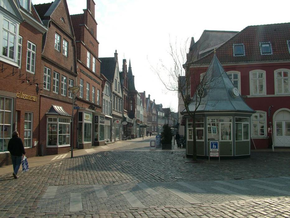


Map and nearest places
| Longitude | Latitude |
|---|---|
| 54.94277777777779 | 8.86388888888889 |
| 54°56'0"N | 8°51'0"E |
| Nearest places | ||
|---|---|---|
| Tonder Airport | 2.1km | |
| Løgumkloster | 14.1km | |
 | Niebüll | 17.3km |
 | Leck | 20.0km |
 | Wyk auf Föhr | 33.0km |
| Sylt Airport | 33.6km | |
| Sylt | 34.0km | |
 | Bredstedt | 36.5km |
| Flensburg-Schäferhaus Airport | 37.8km | |
| Skrydstrup AB | 40.5km | |
| Haderselv Airport | 57.9km | |
| Sonderborg Airport | 59.3km | |
| John Paul II International Airport | 914.2km | |
| Tuuta Airport | 18,719.6km | |
Accomodation
Restaurants
Airports
Weblinks
Comments
You need to log in to add comment